Loading...
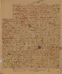
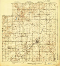
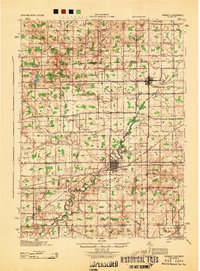
Loading map...1914 Map of Pioneer
USGS Topo · Published 1914About this map
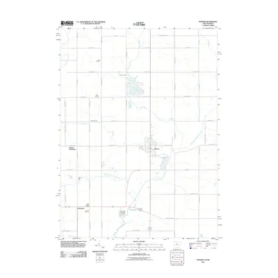
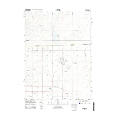
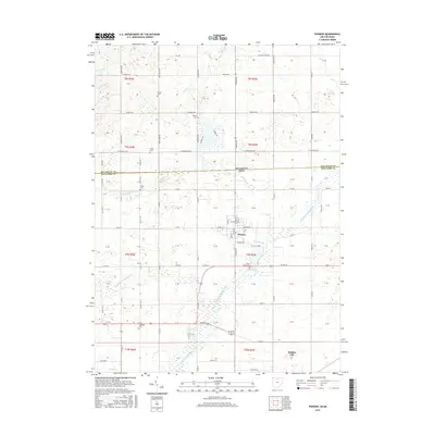
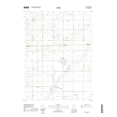
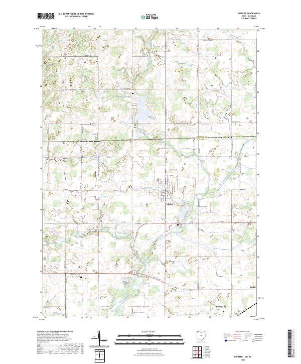
The St Joseph River meanders through this early twentieth-century landscape, anchoring a rural network of small towns and agricultural townships. The village of Montpelier serves as a significant rail hub, where the Wabash RR intersects the regional topography. This era is characterized by an exceptionally dense system of rural education, evidenced by dozens of numbered schoolhouses and named institutions like Bratton School and Lash School serving the surrounding family farms.
Find a feature on this map
71 named features on this map. Tap any name to fly to it.
Don’t see what you’re looking for? This feature index may not catch every label — zoom into the map to look around manually.
Map Details
Date Portrayed1914
Date Published1914
PublisherU.S. Geological Survey
Map TypeTopographic
Scale1:62,500
Physical Dimensions17.4 x 20.6 inches
Editions of this 1914 Pioneer Map
2 editions found
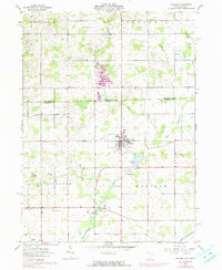
Historical Maps of Montpelier Through Time
8 maps found
Featured Locations
- Northwest Township, OH
- Bridgewater Center, Bridgewater Township
- Pioneer, Madison Township
- Northwest, Northwest Township
- Montpelier, Superior Township
Source Details
SourceU.S. Geological Survey
CopyrightPublic Domain