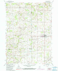
1961 Map of Edon
USGS Topo · Published 1990About this map
Edon serves as the focal point of this northwestern corner of Ohio, where the state line meets Indiana. The landscape is a network of small agricultural settlements and family-named infrastructure, such as Shaffer Bridge and Anspaugh Bridge crossing Fish Creek. The 1970s revisions, shown in purple, reveal the gradual expansion of Edon's residential footprint near the Norfolk and Western rail line. Beyond the towns, the area is heavily marked by its rural social fabric, evidenced by numerous country churches and burial grounds like Mt Pleasant Ch, Bethel Cem, and the Tamarack Sch. The presence of several gravel pits suggests the local importance of the aggregate industry for road maintenance and regional development during this era. The terrain is further defined by various drainage systems, including Eagle Creek and the long Tamarack Ditch.
Find a feature on this map
37 named features on this map. Tap any name to fly to it.
Don’t see what you’re looking for? This feature index may not catch every label — zoom into the map to look around manually.
Map Details
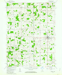
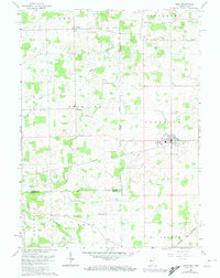
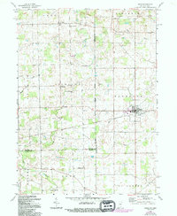
Editions of this 1961 Edon Map
4 editions found
Other maps of this area

1914 · Pioneer
USGS Topo · 1:62,500

1914 · Bryan
USGS Topo · 1:62,500

1939 · Hamilton
USGS Topo · 1:24,000

1939 · Angola East
USGS Topo · 1:24,000

1939 · Clear Lake
USGS Topo · 1:24,000

1940 · Metz
USGS Topo · 1:24,000

1940 · Clear Lake
USGS Topo · 1:24,000

1943 · Bryan
USGS Topo · 1:62,500

1944 · Pioneer
USGS Topo · 1:62,500

1947 · Angola East
USGS Topo · 1:24,000