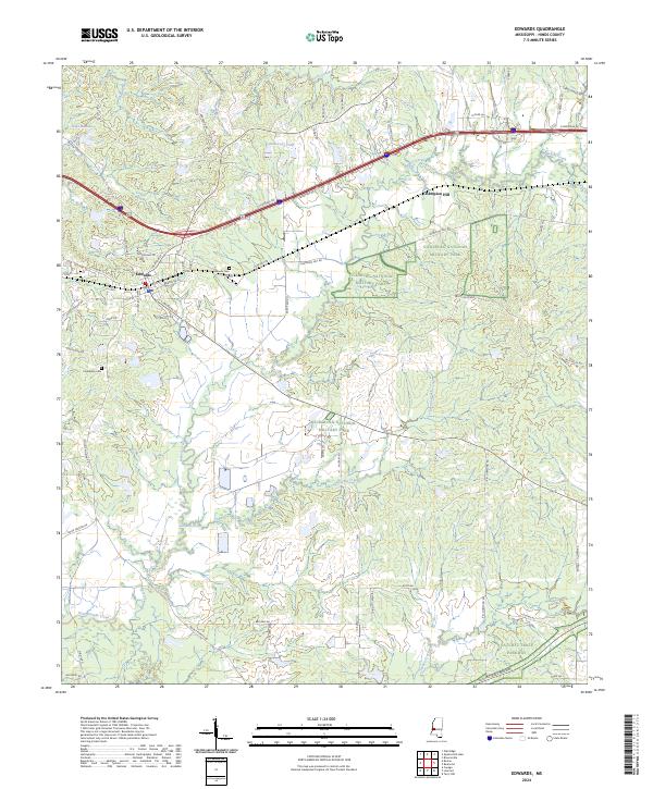
2024 Map of Edwards
USGS Topo · Published 2024About this map
Champion Hill serves as the focal point of this map, preserving a critical Civil War landscape through segments of the Vicksburg National Military Park. The town of Edwards is situated at the western edge, where its grid of streets like Utica St and Vicksburg St meet the corridor of Old Hwy 80. This area is defined by a dense network of drainages including Bakers Creek, Jackson Creek, and Fourteenmile Creek, which carve through the terrain east toward the military park boundaries. Genealogists can identify local burials at Edwards Cem and Friendship Cem, while the southern portion of the sheet is marked by the winding route of the Natchez Trace Parkway, illustrating the transition from local settlement patterns to preserved national heritage corridors.
Find a feature on this map
74 named features on this map. Tap any name to fly to it.
Don’t see what you’re looking for? This feature index may not catch every label — zoom into the map to look around manually.
Map Details
Editions of this 2024 Edwards Map
This is the sole edition of this map. No revisions or reprints were ever made.
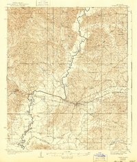
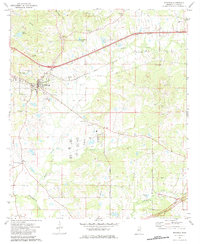
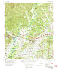
Historical Maps of Edwards Through Time
4 maps found