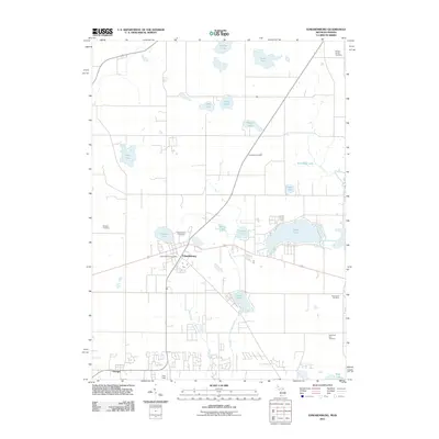
2011 Map of Edwardsburg
USGS Topo · Published 2011About this map
Edwardsburg and the northern outskirts of Granger serve as the primary anchors for this 2011 survey, which illustrates the modern landscape across the Indiana-Michigan state line. The area is defined by a high density of small glacial lakes and managed waterways, including Eagle Lake, Garver Lake, and Pleasant Lake. Significant local history and genealogical data are preserved through the numerous burial grounds scattered across the township, such as Reams-Norton Cemetery and the uniquely named Gods Half Acre Cemetery. The infrastructure of the village of Edwardsburg is clearly visible, centered around the Edwardsburg Post Office and the local Edwardsburg Cemetery. To the south, the development of Granger is evident, while agricultural drainage remains a key feature of the terrain, represented by the Gast Ditch and Cobus Creek systems that move water through this low-lying border region.
Find a feature on this map
26 named features on this map. Tap any name to fly to it.
Don’t see what you’re looking for? This feature index may not catch every label — zoom into the map to look around manually.
Map Details
Editions of this 2011 Edwardsburg Map
This is the sole edition of this map. No revisions or reprints were ever made.
Other maps of this area

1945 · Cassopolis
USGS Topo · 1:62,500

1947 · Cassopolis
USGS Topo · 1:62,500

1948 · Vandalia
USGS Topo · 1:62,500

1949 · Vandalia
USGS Topo · 1:62,500

1953 · Fort Wayne
USGS Topo · 1:250,000

1953 · Chicago
USGS Topo · 1:250,000

1956 · Fort Wayne
USGS Topo · 1:250,000

1957 · Chicago
USGS Topo · 1:250,000

1958 · South Bend East
USGS Topo · 1:24,000

1958 · Osceola
USGS Topo · 1:24,000