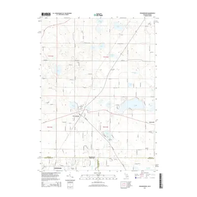
2014 Map of Edwardsburg
USGS Topo · Published 2014About this map
The village of Edwardsburg and the hamlet of Adamsville anchor this 2014 survey of the Michigan-Indiana borderlands. This lake-rich landscape is defined by its glacial hydrology, featuring prominent water bodies like Eagle Lake, Christiana Lake, and Garver Lake that have long shaped local recreation and settlement. The transition from Michigan's Cass County into Indiana's Saint Joseph and Elkhart counties is clearly marked, showing the integration of the Granger area into the regional transportation network.
Find a feature on this map
58 named features on this map. Tap any name to fly to it.
Don’t see what you’re looking for? This feature index may not catch every label — zoom into the map to look around manually.
Map Details
Editions of this 2014 Edwardsburg Map
This is the sole edition of this map. No revisions or reprints were ever made.
Other maps of this area

1945 · Cassopolis
USGS Topo · 1:62,500

1947 · Cassopolis
USGS Topo · 1:62,500

1948 · Vandalia
USGS Topo · 1:62,500

1949 · Vandalia
USGS Topo · 1:62,500

1953 · Fort Wayne
USGS Topo · 1:250,000

1953 · Chicago
USGS Topo · 1:250,000

1956 · Fort Wayne
USGS Topo · 1:250,000

1957 · Chicago
USGS Topo · 1:250,000

1958 · South Bend East
USGS Topo · 1:24,000

1958 · Osceola
USGS Topo · 1:24,000