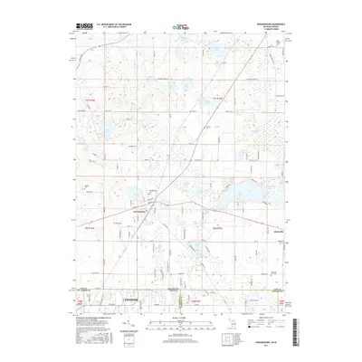
2017 Map of Edwardsburg
USGS Topo · Published 2017About this map
Edwardsburg and Adamsville anchor this 2017 survey of the borderlands where Michigan meets Indiana. The region is defined by a dense cluster of glacial lakes including Eagle Lake, Christiana Lake, and Garver Lake, which dictate the winding paths of local roads like N Shore Dr and Lakeview Dr. This landscape is particularly valuable for genealogical research, as it contains numerous burial sites such as the Edwardsburg Cem, Adamsville Cem, and the uniquely named Gods Half Acre Cem.
Find a feature on this map
121 named features on this map. Tap any name to fly to it.
Don’t see what you’re looking for? This feature index may not catch every label — zoom into the map to look around manually.
Map Details
Editions of this 2017 Edwardsburg Map
This is the sole edition of this map. No revisions or reprints were ever made.
Other maps of this area

1945 · Cassopolis
USGS Topo · 1:62,500

1947 · Cassopolis
USGS Topo · 1:62,500

1948 · Vandalia
USGS Topo · 1:62,500

1949 · Vandalia
USGS Topo · 1:62,500

1953 · Fort Wayne
USGS Topo · 1:250,000

1953 · Chicago
USGS Topo · 1:250,000

1956 · Fort Wayne
USGS Topo · 1:250,000

1957 · Chicago
USGS Topo · 1:250,000

1958 · South Bend East
USGS Topo · 1:24,000

1958 · Osceola
USGS Topo · 1:24,000