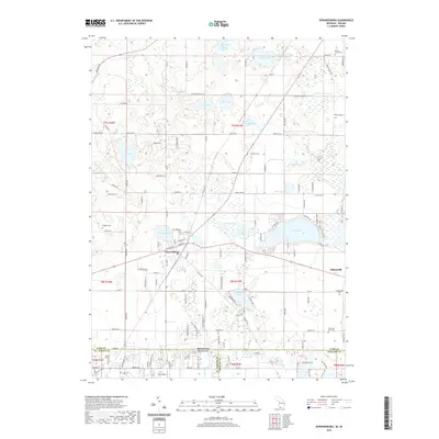
2019 Map of Edwardsburg
USGS Topo · Published 2019About this map
Edwardsburg serves as the primary hub of this landscape, situated just north of the Michigan Indiana state line where modern residential developments meet an intricate network of glacial lakes. The village is surrounded by significant genealogical landmarks, including the Edwardsburg Cem and the nearby Rodgers Cem to the northwest. To the east, the smaller settlement of Adamsville is perched near the shores of Eagle Lake, with its own Adamsville Cem and the distinctly named Gods Half Acre Cem located further south.
Find a feature on this map
61 named features on this map. Tap any name to fly to it.
Don’t see what you’re looking for? This feature index may not catch every label — zoom into the map to look around manually.
Map Details
Editions of this 2019 Edwardsburg Map
This is the sole edition of this map. No revisions or reprints were ever made.
Other maps of this area

1945 · Cassopolis
USGS Topo · 1:62,500

1947 · Cassopolis
USGS Topo · 1:62,500

1948 · Vandalia
USGS Topo · 1:62,500

1949 · Vandalia
USGS Topo · 1:62,500

1953 · Fort Wayne
USGS Topo · 1:250,000

1953 · Chicago
USGS Topo · 1:250,000

1956 · Fort Wayne
USGS Topo · 1:250,000

1957 · Chicago
USGS Topo · 1:250,000

1958 · South Bend East
USGS Topo · 1:24,000

1958 · Osceola
USGS Topo · 1:24,000