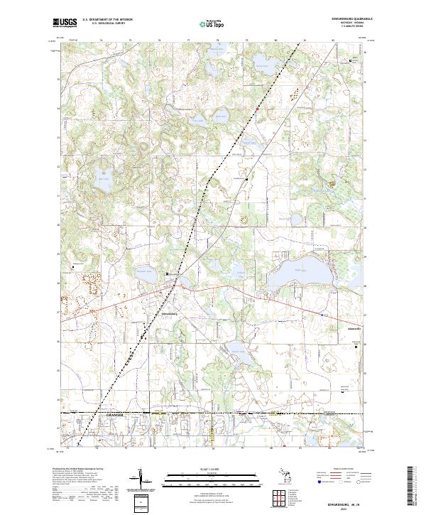
2023 Map of Edwardsburg
USGS Topo · Published 2023About this map
Edwardsburg serves as the central hub of this landscape, situated near the north-south dividing line between Michigan and Indiana. The area is defined by a dense cluster of glacial kettle lakes, ranging from the prominent Eagle Lake and Garver Lake to smaller bodies like Pleasant Lake and Skab Lake. This high density of water bodies influenced the local road network, which winds around these features to connect early residential pockets and agricultural lands.
Find a feature on this map
110 named features on this map. Tap any name to fly to it.
Don’t see what you’re looking for? This feature index may not catch every label — zoom into the map to look around manually.
Map Details
Editions of this 2023 Edwardsburg Map
This is the sole edition of this map. No revisions or reprints were ever made.
Other maps of this area

1945 · Cassopolis
USGS Topo · 1:62,500

1947 · Cassopolis
USGS Topo · 1:62,500

1948 · Vandalia
USGS Topo · 1:62,500

1949 · Vandalia
USGS Topo · 1:62,500

1953 · Fort Wayne
USGS Topo · 1:250,000

1953 · Chicago
USGS Topo · 1:250,000

1956 · Fort Wayne
USGS Topo · 1:250,000

1957 · Chicago
USGS Topo · 1:250,000

1958 · South Bend East
USGS Topo · 1:24,000

1958 · Osceola
USGS Topo · 1:24,000