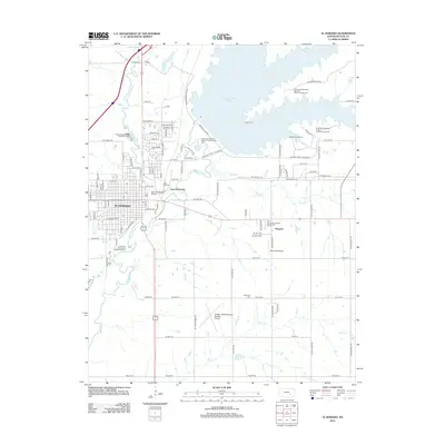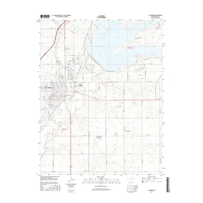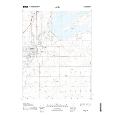
2022 Map of El Dorado
USGS Topo · Published 2022About this map
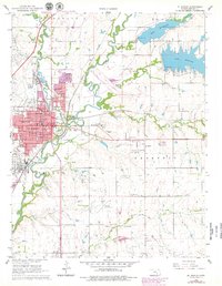
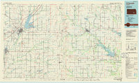
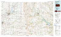
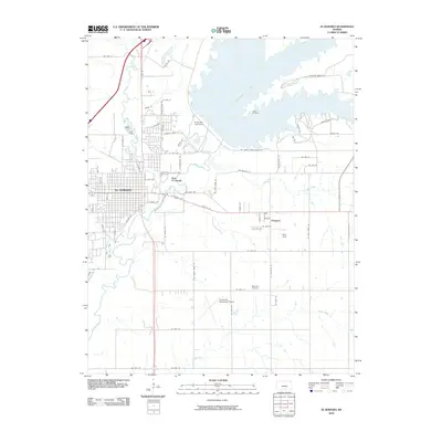
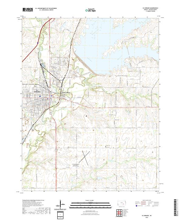
El Dorado and its neighbor East El Dorado sit at the confluence of the Walnut River and the West Branch Walnut River, defining the urban heart of Butler County. The landscape is characterized by the steady meeting of prairie streams, where Bemis Creek and Turkey Creek feed into the river system. To the south, the El Dorado/Captain Jack Thomas Memorial Airport stands as a primary regional landmark alongside Patty Field. This 2022 survey documents the modern street grid of the county seat, including the Butler County Judicial Center, while preserving the locations of local landmarks like Belle Vista Cem and Sherman Cem. The map provides a clear record of the intersection between established municipal developments and the surrounding agricultural waterways that have shaped the region's growth.
Find a feature on this map
102 named features on this map. Tap any name to fly to it.
Don’t see what you’re looking for? This feature index may not catch every label — zoom into the map to look around manually.
Map Details
Editions of this 2022 El Dorado Map
This is the sole edition of this map. No revisions or reprints were ever made.
Historical Maps of El Dorado Through Time
8 maps found