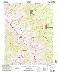
1994 Map of Electric Peak
USGS Topo · Published 1998About this map
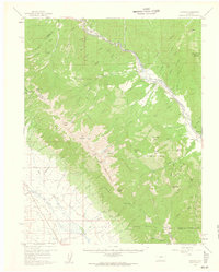
Sangre De Cristo Wilderness dominates this mid-1990s landscape, where high-elevation mining and remote mountain trails meet the administrative boundaries of the San Isabel National Forest and Rio Grande National Forest. The map documents a legacy of mineral exploration through the Rita Alta Mine and Cloverdale Mine, situated among towering landmarks like Electric Peak and Mount Owen. This topography reflects the rugged character of the Saguache and Custer County line as it follows the crest of the Sangre De Cristo range.
Find a feature on this map
61 named features on this map. Tap any name to fly to it.
Don’t see what you’re looking for? This feature index may not catch every label — zoom into the map to look around manually.
Map Details
Editions of this 1994 Electric Peak Map
This is the sole edition of this map. No revisions or reprints were ever made.
Other maps of this area
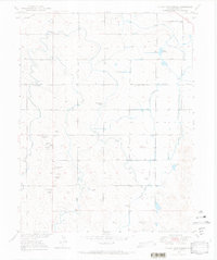
1950 · Valley View Hot Springs
USGS Topo · 1:24,000

1954 · Pueblo
USGS Topo · 1:250,000

1957 · Pueblo
USGS Topo · 1:250,000

1958 · Pueblo
USGS Topo · 1:250,000
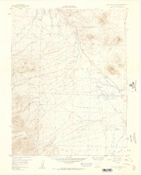
1958 · Beckwith Mountain
USGS Topo · 1:24,000
1959 · Electric Peak
USGS Topo · 1:62,500
1959 · Howard
USGS Topo · 1:62,500
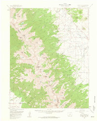
1959 · Horn Peak
USGS Topo · 1:24,000
1959 · Cotopaxi
USGS Topo · 1:62,500

1962 · Pueblo
USGS Topo · 1:250,000