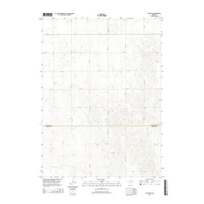
2014 Map of Elgin NW
USGS Topo · Published 2014About this map
Stoltz Reservoir sits near the center of this rural landscape, capturing the drainage patterns of the high plains along the Antelope and Boone County line. The terrain is defined by the winding paths of Beaver Creek in the southwest and Rae Cr to the southeast, illustrating the vital water resources that support agriculture in this region. This 2014 survey documents the highly organized section-line road network, including thoroughfares like Ne-70 and 837th Rd, which facilitate transport across the undulating topography. The map reveals the relationship between natural water systems and the man-made grid of avenues and roads that serve as the backbone of local commerce and connectivity between neighboring counties.
Find a feature on this map
22 named features on this map. Tap any name to fly to it.
Don’t see what you’re looking for? This feature index may not catch every label — zoom into the map to look around manually.
Map Details
Editions of this 2014 Elgin NW Map
This is the sole edition of this map. No revisions or reprints were ever made.
Other maps of this area

1955 · Broken Bow
USGS Topo · 1:250,000

1955 · O'Neill
USGS Topo · 1:250,000

1956 · Broken Bow
USGS Topo · 1:250,000

1959 · O'Neill
USGS Topo · 1:250,000

1960 · Spalding 2 NE
USGS Topo · 1:24,000

1960 · Spalding 2 SE
USGS Topo · 1:24,000

1963 · Petersburg
USGS Topo · 1:24,000

1963 · Neligh SE
USGS Topo · 1:24,000

1963 · Deloit
USGS Topo · 1:24,000

1963 · Neligh SW
USGS Topo · 1:24,000