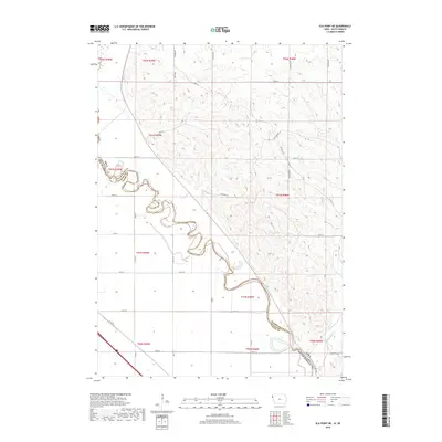
2018 Map of Elk Point NE
USGS Topo · Published 2018About this map
The Big Sioux River carves a winding, serpentine path through this 2018 survey, serving as the natural boundary between South Dakota and Iowa. The landscape is characterized by the complex drainage systems of its tributaries, including Deer Cr and Rock Cr, which slice through the upland terrain before joining the larger river valley. In the southeastern corner, the waters of Broken Kettle Cr enter the frame, marking a distinct shift in the local topography.
Find a feature on this map
36 named features on this map. Tap any name to fly to it.
Don’t see what you’re looking for? This feature index may not catch every label — zoom into the map to look around manually.
Map Details
Editions of this 2018 Elk Point NE Map
This is the sole edition of this map. No revisions or reprints were ever made.
Other maps of this area

1898 · Elk Point
USGS Topo · 1:125,000

1901 · Elk Point
USGS Topo · 1:125,000

1907 · Elk Point
USGS Topo · 1:125,000

1955 · Sioux City
USGS Topo · 1:250,000

1958 · Sioux City
USGS Topo · 1:250,000

1959 · Sioux City
USGS Topo · 1:250,000

1963 · Elk Point
USGS Topo · 1:24,000

1963 · Sioux City North
USGS Topo · 1:24,000

1963 · Elk Point NE
USGS Topo · 1:24,000

1963 · Jefferson
USGS Topo · 1:24,000
Featured Places
- Elk Point Township, SD
- Civil Bend Township, SD
- Jefferson Township, SD
- Plymouth County, IA
- Union County, SD