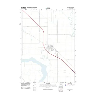
2011 Map of Elk Point
USGS Topo · Published 2011About this map
Elk Point serves as the focal point of this Union County landscape, situated near the confluence where the Big Sioux River joins the Missouri River. The area's geography is defined by the shifting alluvial plains of these major waterways, with Brule Creek and the meandering path of the Government Slough highlighting the complex drainage patterns of the Missouri bottomlands. The town's grid is anchored by Saint Joseph Cemetery and the local transit hub at MJ Aviation Airport II, illustrating a modern rural settlement pattern that relies on a dense network of sectional roads like 475th Ave and 323rd St. Significant infrastructure, including the diagonal path of Burbank Rd and S Dakota Hwy 11, shows how regional transportation adapted to the natural curves of the riverbanks and sloughs.
Find a feature on this map
26 named features on this map. Tap any name to fly to it.
Don’t see what you’re looking for? This feature index may not catch every label — zoom into the map to look around manually.
Map Details
Editions of this 2011 Elk Point Map
This is the sole edition of this map. No revisions or reprints were ever made.
Other maps of this area

1898 · Elk Point
USGS Topo · 1:125,000

1901 · Elk Point
USGS Topo · 1:125,000

1907 · Elk Point
USGS Topo · 1:125,000

1955 · Sioux City
USGS Topo · 1:250,000

1958 · Sioux City
USGS Topo · 1:250,000

1959 · Sioux City
USGS Topo · 1:250,000

1963 · Elk Point
USGS Topo · 1:24,000

1963 · Elk Point NE
USGS Topo · 1:24,000

1963 · Jefferson
USGS Topo · 1:24,000

1964 · Burbank
USGS Topo · 1:24,000