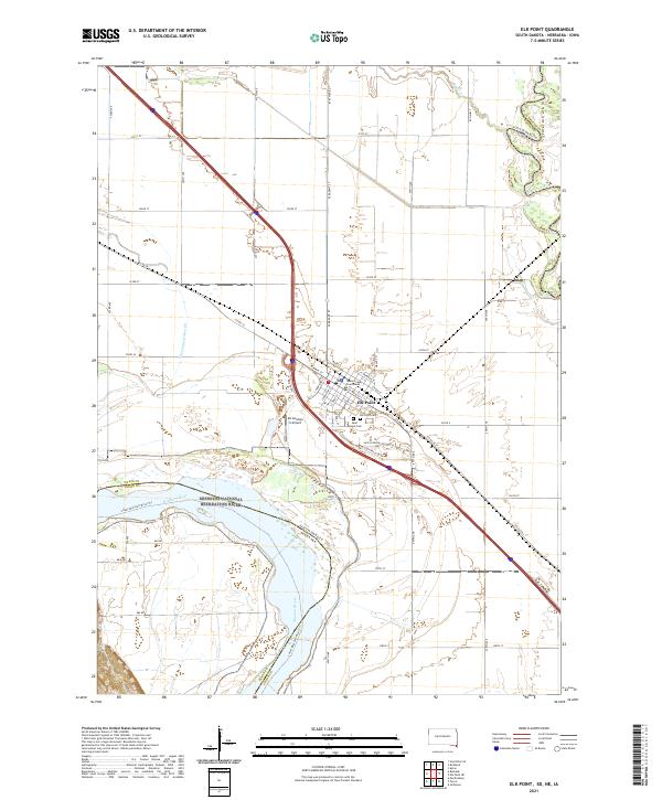
2021 Map of Elk Point
USGS Topo · Published 2021About this map
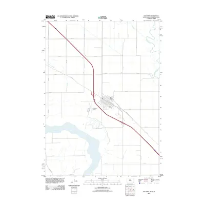
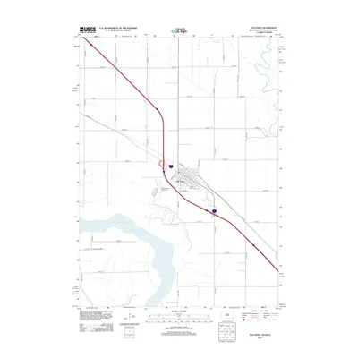
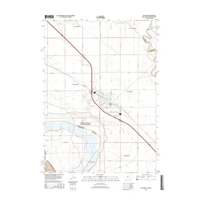
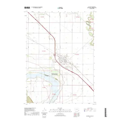
Elk Point serves as the focal point of this tri-state border region, where the broad bottomlands of the Missouri and Big Sioux rivers meet. The street grid of the town is detailed down to individual blocks, featuring the Union County Courthouse and local landmarks like Elk Point Cem and Saint Joseph Cem. Outside the town center, the landscape is defined by the sweeping curves of the Missouri National Recreation River and the Big Sioux River, which forms the boundary between South Dakota and Iowa.
Find a feature on this map
48 named features on this map. Tap any name to fly to it.
Don’t see what you’re looking for? This feature index may not catch every label — zoom into the map to look around manually.
Map Details
Editions of this 2021 Elk Point Map
This is the sole edition of this map. No revisions or reprints were ever made.
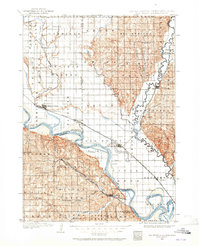
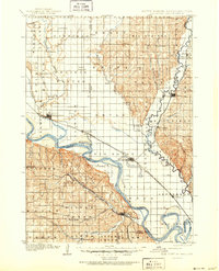
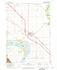
Historical Maps of Elk Point Through Time
9 maps found

Featured Locations
- Elk Point Township, SD
- Richland Township, SD
- Brule Township, SD
- Civil Bend Township, SD
- Elk Point, Elk Point Township