Loading...
Loading map...2022 Map of Elkhorn City
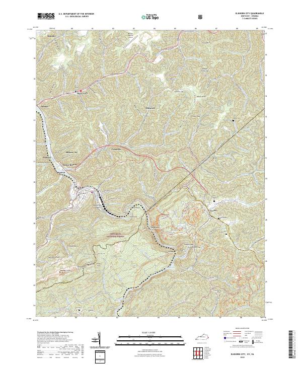
USGS Topo · Published 2022About this map
Elkhorn City serves as a focal point along the Russell Fork at the edge of the Jefferson National Forest. This survey captures the complex topography of the Cumberland Mountains, where the deep gorge of The Breaks creates a natural corridor through Pine Mountain. The settlement pattern follows the narrow valleys and hollows, with communities like Beaver Bottom, Cedarville, and Republic linked by the Ohio & Kentucky RR.
Find a feature on this map
146 named features on this map. Tap any name to fly to it.
Don’t see what you’re looking for? This feature index may not catch every label — zoom into the map to look around manually.
Map Details
Date Portrayed2022
Date Published2022
PublisherU.S. Geological Survey
Map TypeTopographic
Scale1:24000
Physical Dimensions24 x 29 inches
Editions of this 2022 Elkhorn City Map
This is the sole edition of this map. No revisions or reprints were ever made.
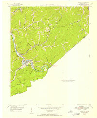
Historical Maps of Elkhorn City Through Time
3 maps found

Featured Locations
Source Details
SourceU.S. Geological Survey
CopyrightPublic Domain