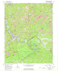
1963 Map of Elkhorn City
USGS Topo · Published 1978About this map
Elkhorn City serves as a focal point in this rugged border region between Kentucky and Virginia, situated where Russell Fork carves through the landscape. The geography is defined by a dense network of steep hollows and ridges, such as Hunt Ridge and Shortridge, which shaped the path of industrial development. Extensive coal extraction is evident throughout the terrain, with numerous Strip Mines and Gas Wells dotting the hillsides, particularly north of Beaver Knob. The mapping captures the vital intersection of the Chesapeake and Ohio and Clinchfield railroads, which facilitated the transport of resources from this mountainous interior.
Find a feature on this map
125 named features on this map. Tap any name to fly to it.
Don’t see what you’re looking for? This feature index may not catch every label — zoom into the map to look around manually.
Map Details
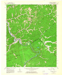
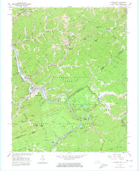
Editions of this 1963 Elkhorn City Map
3 editions found
Other maps of this area

1886 · Grundy
USGS Topo · 1:125,000

1890 · Grundy
USGS Topo · 1:125,000

1892 · Grundy
USGS Topo · 1:125,000

1913 · Clintwood
USGS Topo · 1:62,500

1914 · Bucu
USGS Topo · 1:48,000

1914 · Hurley
USGS Topo · 1:48,000

1915 · Clintwood
USGS Topo · 1:62,500

1915 · Regina
USGS Topo · 1:48,000

1915 · Hurley
USGS Topo · 1:48,000

1916 · Bucu
USGS Topo · 1:62,500