
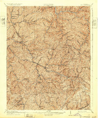
1916 Map of Bucu
USGS Topo · Published 1916About this map
Buchanan County, Dickenson County, and Russell County converge in this 1916 survey, a region defined by high ridges and a dense network of mountain schools. The landscape is carved by the Russell Fork and Levisa Fork rivers, while the Lumber RR traces the valley floor near Davenport, indicating the era's reliance on timber extraction. Settlement patterns follow the hollows, with small communities like Bucu, Council, and Wilder serving as local hubs. The map is particularly notable for its high density of educational landmarks, recording more than two dozen sites such as Owens School, Presley School, and Harmon School. These features, along with named mountain gaps like Indian Grave Gap and Abners Gap, provide a detailed look at the geographic barriers and social centers of early 20th-century life in the Appalachian highlands.
Find a feature on this map
120 named features on this map. Tap any name to fly to it.
Don’t see what you’re looking for? This feature index may not catch every label — zoom into the map to look around manually.
Map Details
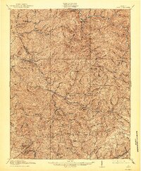
Editions of this 1916 Bucu Map
3 editions found
Other maps of this area

1886 · Grundy
USGS Topo · 1:125,000

1890 · Grundy
USGS Topo · 1:125,000

1891 · Tazewell
USGS Topo · 1:125,000

1891 · Abingdon
USGS Topo · 1:125,000

1892 · Grundy
USGS Topo · 1:125,000

1894 · Abingdon
USGS Topo · 1:125,000

1895 · Tazewell
USGS Topo · 1:125,000

1897 · Tazewell
USGS Topo · 1:125,000

1897 · Bristol
USGS Topo · 1:125,000

1902 · Bristol
USGS Topo · 1:125,000