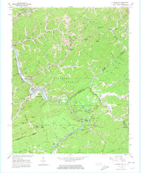
1963 Map of Elkhorn City
USGS Topo · Published 1974About this map
Elkhorn City serves as a focal point for this rugged borderland where the Russell Fork river carves through the Appalachian landscape. The complex rail infrastructure of the early 1960s is on full display, featuring the Chesapeake and Ohio and Clinchfield railroads, complete with engineering feats like the Pool Point Tunnel and Skegg Tunnel. Significant coal operations are evident through numerous strip mines and smaller mines dotting the ridges of Pine Mountain. Local social life of the era is anchored by landmarks such as the Drive-in Theater, Beaver Creek Sch, and Cedar Grove Ch. Further south, the dramatic geology of Breaks Interstate Park reveals landmarks like The Chimney, The Towers, and Lovers Leap, highlighting the area's transition toward recreation alongside its industrial roots.
Find a feature on this map
140 named features on this map. Tap any name to fly to it.
Don’t see what you’re looking for? This feature index may not catch every label — zoom into the map to look around manually.
Map Details
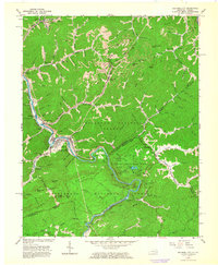
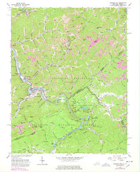
Editions of this 1963 Elkhorn City Map
3 editions found
Other maps of this area

1886 · Grundy
USGS Topo · 1:125,000

1890 · Grundy
USGS Topo · 1:125,000

1892 · Grundy
USGS Topo · 1:125,000

1913 · Clintwood
USGS Topo · 1:62,500

1914 · Bucu
USGS Topo · 1:48,000

1914 · Hurley
USGS Topo · 1:48,000

1915 · Clintwood
USGS Topo · 1:62,500

1915 · Regina
USGS Topo · 1:48,000

1915 · Hurley
USGS Topo · 1:48,000

1916 · Bucu
USGS Topo · 1:62,500