
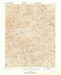
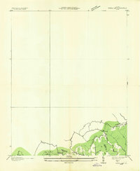
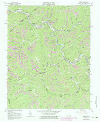
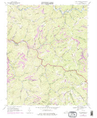
1914 Map of Bucu
USGS Topo · Published 1914This historical map portrays the area of Bucu in 1914, primarily covering Buchanan County as well as portions of Dickenson County and Russell County. Featuring a scale of 1:48,000, this map provides a highly detailed snapshot of the terrain, roads, buildings, counties, and historical landmarks in the Bucu region at the time. Published in 1914, it is the sole known edition of this map.
Map Details
Editions of this 1914 Bucu Map
This is the sole edition of this map. No revisions or reprints were ever made.
Historical Maps of Vansant Through Time
22 maps found
1914 Bucu
Buchanan County, VA

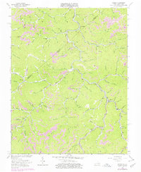
1914 Hurley
Buchanan County, VA
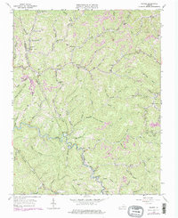
1915 Hurley
Buchanan County, VA

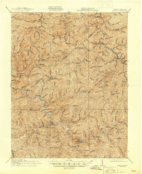
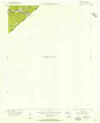
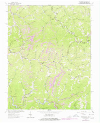
1916 Bucu
Buchanan County, VA
1917 Hurley
Buchanan County, VA
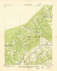
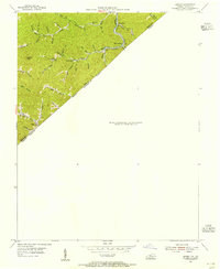
1935 Big A Mountain
Buchanan County, VA
1935 Jewell
Buchanan County, VA
1935 Pistol Gap
Buchanan County, VA
1954 Harman
Buchanan County, VA
1954 Hurley
Buchanan County, VA
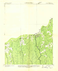
1958 Big A Mountain
Buchanan County, VA
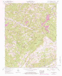
1963 Harman
Buchanan County, VA
1963 Hurley
Buchanan County, VA
1963 Prater
Buchanan County, VA
1964 Patterson
Buchanan County, VA
1968 Keen Mountain
Buchanan County, VA
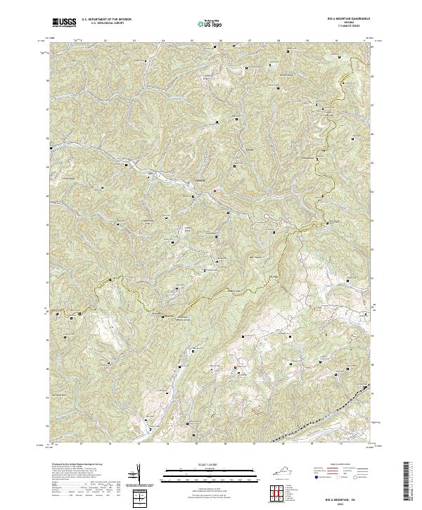
2022 Big A Mountain
Buchanan County, VA
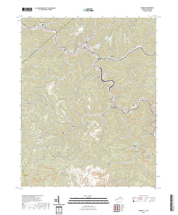
2022 Harman
Buchanan County, VA
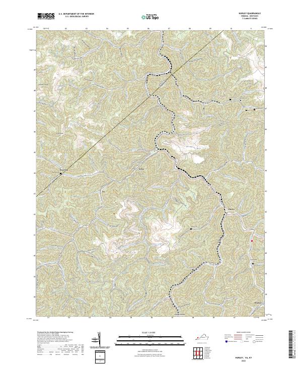
2022 Hurley
Buchanan County, VA
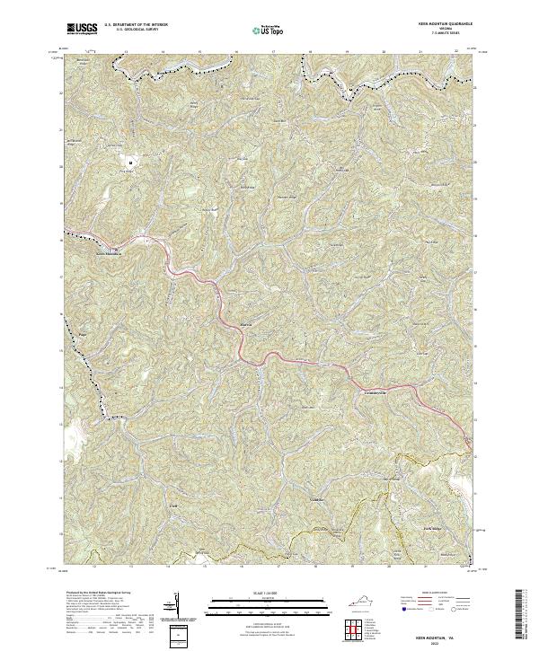
2022 Keen Mountain
Buchanan County, VA
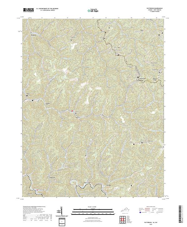
2022 Patterson
Buchanan County, VA
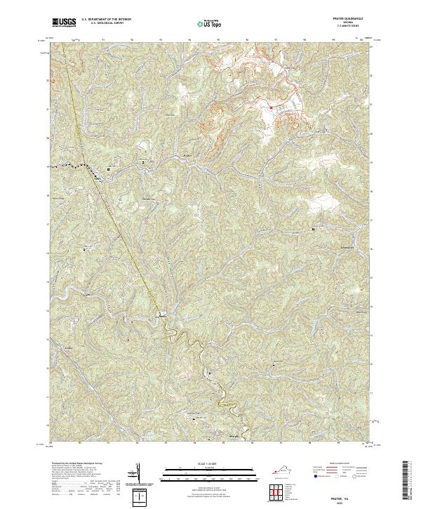
2022 Prater
Buchanan County, VA