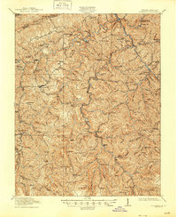
1913 Map of Clintwood
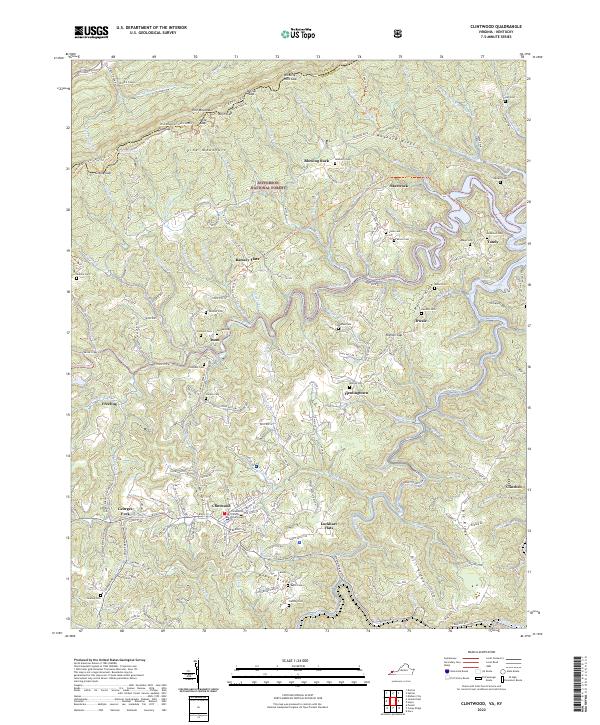
USGS Topo · Published 1962About this map
Clintwood serves as the focal point of this southwestern Virginia survey, situated amidst the complex topography of the Cumberland Plateau. The landscape is defined by the convergence of the Pound River, Cranesnest River, and McClure River, which weave through deep ridges like Caney Ridge and Sandy Ridge. Small agricultural and timber-dependent settlements such as Dwale, Millard, and Stratton are scattered throughout the valleys, often organized around local education and faith.
Find a feature on this map
97 named features on this map. Tap any name to fly to it.
Don’t see what you’re looking for? This feature index may not catch every label — zoom into the map to look around manually.
Map Details
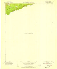
Editions of this 1913 Clintwood Map
This is the sole edition of this map. No revisions or reprints were ever made.
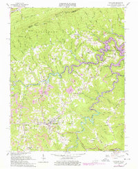
Historical Maps of Clintwood Through Time
5 maps found