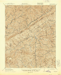
1912 Map of Pound
USGS Topo · Published 1912About this map
Pine Mountain dominates the northern horizon of this 1912 survey, forming the dramatic natural boundary between Kentucky and Virginia. The landscape is defined by an intricate network of waterways, including the North Fork Pound River and South Fork Pound River, which converge to feed the Pound River. This era of settlement is marked by isolated mountain communities and small schoolhouses that served the various hollows and forks. Local life was anchored around institutions like the Upper Rockhouse School, Fuller Fork School, and Mullins Fork School. Strategically important mountain passes like Pound Gap, Shelby Gap, and Osborn Gap provided the only traversable routes through the high ridges. In the southwestern corner, the industrial settlement of Pardee appears alongside Roaring Fork, signaling the early coal and timber activities that would eventually transform this part of Wise County.
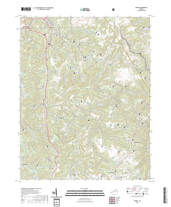
Find a feature on this map
33 named features on this map. Tap any name to fly to it.
Don’t see what you’re looking for? This feature index may not catch every label — zoom into the map to look around manually.
Map Details
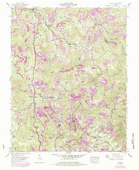
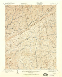
Editions of this 1912 Pound Map
2 editions found
Historical Maps of Jenkins Through Time
4 maps found