
1914 Map of Pound
USGS Topo · Published 1914About this map
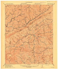
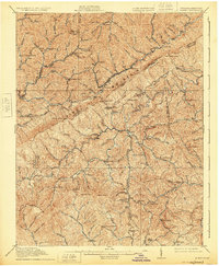
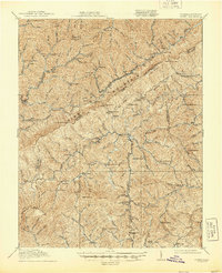
Pine Mountain serves as the formidable spine of this Central Appalachian landscape, where the jagged boundary between Kentucky and Virginia follows the high ridges. The map records a moment of significant industrial and civic growth just before the Great War, most notably the development around Jenkins and McRoberts near the northern terminus of the Lexington and Eastern RR. This rail connection facilitated the coal industry’s expansion through the hollows, linking remote settlements like Dunham and Burdine to wider markets.
Find a feature on this map
159 named features on this map. Tap any name to fly to it.
Don’t see what you’re looking for? This feature index may not catch every label — zoom into the map to look around manually.
Map Details
Editions of this 1914 Pound Map
4 editions found
Other maps of this area

1886 · Grundy
USGS Topo · 1:125,000

1890 · Whitesburg
USGS Topo · 1:125,000

1890 · Grundy
USGS Topo · 1:125,000

1892 · Grundy
USGS Topo · 1:125,000

1892 · Whitesburg
USGS Topo · 1:125,000

1894 · Estillville
USGS Topo · 1:125,000

1897 · Bristol
USGS Topo · 1:125,000

1902 · Bristol
USGS Topo · 1:125,000

1912 · Pound
USGS Topo · 1:48,000

1912 · Hindman
USGS Topo · 1:48,000