Loading...
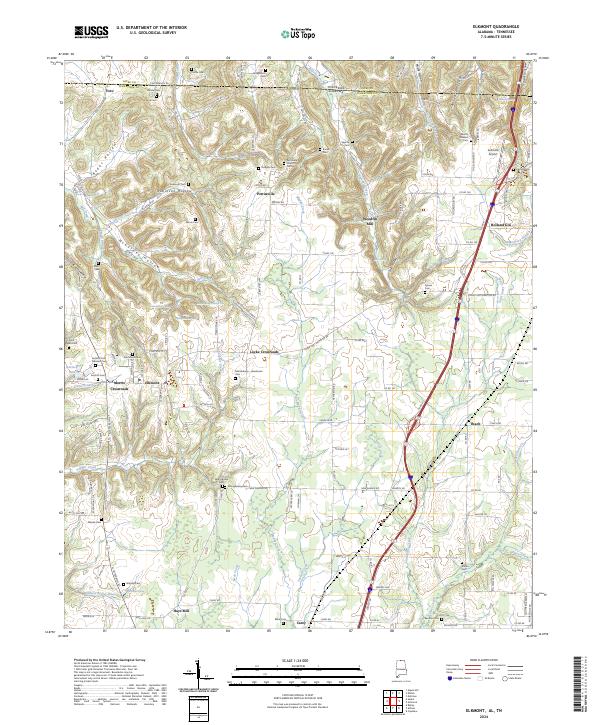
Loading map...2024 Map of Elkmont
USGS Topo · Published 2024About this map
Elkmont serves as a central hub in this survey of Limestone County, Alabama, where the landscape is defined by the transition from the Tennessee state line southward. The area is characterized by a dense network of hollows, such as Redus Hollow and McCathey Hollow, which channel water into creeks like Swan Creek and Piney Creek. These drainages historically dictated the placement of early settlements and industry, evidenced by the site of Woodfin Mill along Ragsdale Creek.
Find a feature on this map
147 named features on this map. Tap any name to fly to it.
Don’t see what you’re looking for? This feature index may not catch every label — zoom into the map to look around manually.
Map Details
Date Portrayed2024
Date Published2024
PublisherU.S. Geological Survey
Map TypeTopographic
Scale1:24000
Physical Dimensions24 x 29 inches
Editions of this 2024 Elkmont Map
This is the sole edition of this map. No revisions or reprints were ever made.
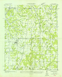
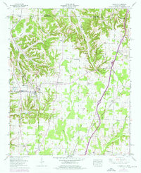
Historical Maps of Carey Through Time
3 maps found
Featured Locations
Source Details
SourceU.S. Geological Survey
CopyrightPublic Domain