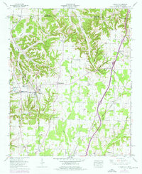
1958 Map of Elkmont
USGS Topo · Published 1976About this map
Elkmont serves as the central hub of this North Alabama landscape, situated just south of the Tennessee border where the Louisville and Nashville railroad cuts a straight path through the countryside. The geography is defined by a dense network of hollows to the north, including Robinson Hollow and McCathey Hollow, which give way to the more level agricultural lands around Thach and Pettusville. Industry and community life are well-documented through features like the Woodin Mill and the Holland Gin, reflecting a mid-century economy rooted in processing local timber and cotton.
Find a feature on this map
60 named features on this map. Tap any name to fly to it.
Don’t see what you’re looking for? This feature index may not catch every label — zoom into the map to look around manually.
Map Details
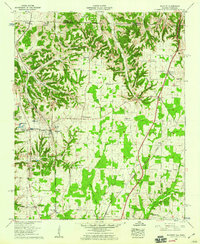
Editions of this 1958 Elkmont Map
2 editions found
Other maps of this area

1888 · Huntsville
USGS Topo · 1:125,000

1892 · Huntsville
USGS Topo · 1:125,000

1935 · Athens
USGS Topo · 1:24,000

1936 · Capshaw
USGS Topo · 1:24,000

1936 · Aspen Hill
USGS Topo · 1:24,000

1936 · Elkmont
USGS Topo · 1:24,000

1936 · Ripley
USGS Topo · 1:24,000

1936 · Ardmore
USGS Topo · 1:24,000

1936 · Elkton
USGS Topo · 1:24,000

1936 · Dellrose
USGS Topo · 1:24,000