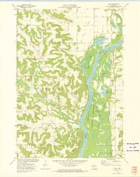
1972 Map of Ella
USGS Topo · Published 1975About this map
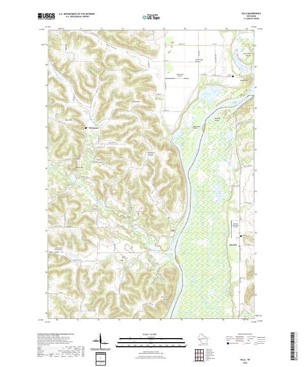
Waterville Prairie and the deep coulees of the Driftless Area define this 1970s landscape at the confluence of the Eau Galle River and the Chippewa River. The map illustrates a complex riparian environment where the Chicago Milwaukee St Paul and Pacific railroad skirts the edge of the Tiffany Wildlife Area, traversing a maze of backwaters like Little Buffalo Slough and Stump Lake. Higher ground is marked by family and community landmarks such as Little Plum Church and its nearby Little Plum Cemetery, alongside the small settlements of Paradise and Ella. Geologic and cultural features like the Eau Galle Mound, Round Hill, and Five Mile Bluff provide significant orientation points for those studying the intersection of transportation and topography in Buffalo and Pepin counties.
Find a feature on this map
52 named features on this map. Tap any name to fly to it.
Don’t see what you’re looking for? This feature index may not catch every label — zoom into the map to look around manually.
Map Details
Editions of this 1972 Ella Map
This is the sole edition of this map. No revisions or reprints were ever made.