Loading...
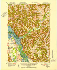
Loading map...1950 Map of Alma
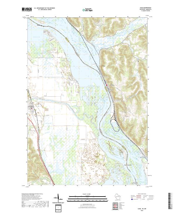
USGS Topo · Published 1952About this map
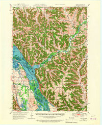
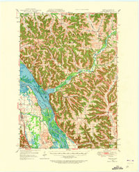
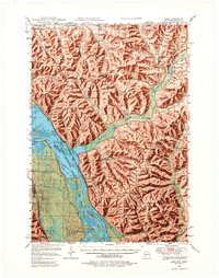
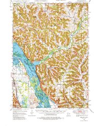
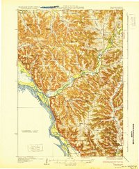
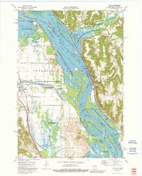
The Mississippi River valley dominates this landscape, serving as a corridor for commerce and conservation at the boundary of Wisconsin and Minnesota. This mid-century survey captures the river's complex geography of sloughs, lakes, and channels, including the Pomme de Terre Slough and Peterson Lake. The engineering of Lock and Dam No 4 near Alma reflects the managed nature of the waterway, while the Upper Mississippi River Wildlife and Fish Refuge preserves the surrounding wetlands.
Find a feature on this map
80 named features on this map. Tap any name to fly to it.
Don’t see what you’re looking for? This feature index may not catch every label — zoom into the map to look around manually.
Map Details
Date Portrayed1950
Date Published1952
PublisherU.S. Geological Survey
Map TypeTopographic
Scale1:62,500
Physical Dimensions17.2 x 21.1 inches
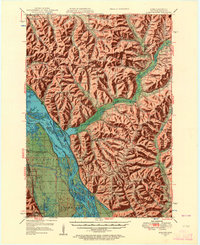
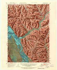
Editions of this 1950 Alma Map
8 editions found
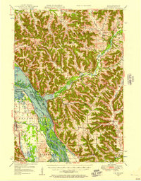
Historical Maps of Wabasha Through Time
4 maps found
Featured Locations
Source Details
SourceU.S. Geological Survey
CopyrightPublic Domain