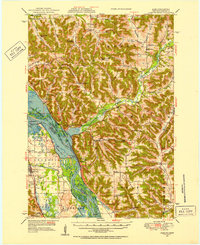
1950 Map of Alma
USGS Topo · Published 1957About this map
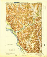
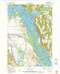
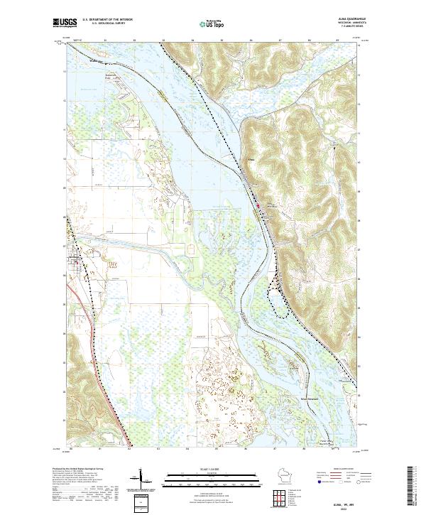
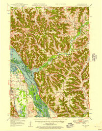
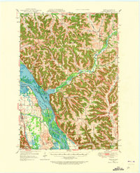
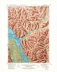
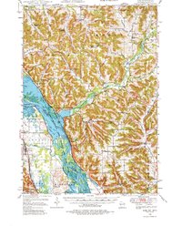
The Mississippi River corridor dominates this 1950s study, showcasing the intricate network of sloughs and channels that define the border between Buffalo County, Wisconsin, and Wabasha County, Minnesota. The river's industrial and environmental management is evident through Lock and Dam No 4 and the extensive Upper Mississippi River Wild Life and Fish Refuge. On the Wisconsin side, the high ridges of Alma Ridge and Huber Ridge are separated by deep coulees like Waumandee Valley, where small rural communities such as Modena and Cream persisted alongside one-room schoolhouses like Trout Creek Sch and Little Bluebell Sch. The Chicago Milwaukee St Paul and Pacific railroad tracks hug the riverbank, serving river towns like Alma and Kellogg, while higher elevations remain dotted with family-named landmarks and remote churchyards such as Church Valley Cem.
Find a feature on this map
70 named features on this map. Tap any name to fly to it.
Don’t see what you’re looking for? This feature index may not catch every label — zoom into the map to look around manually.
Map Details
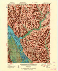
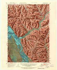
Editions of this 1950 Alma Map
8 editions found
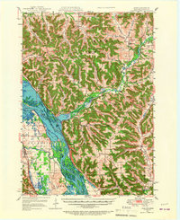
Historical Maps of Wabasha Through Time
4 maps found