Loading...
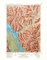
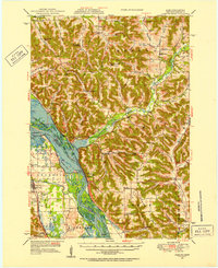
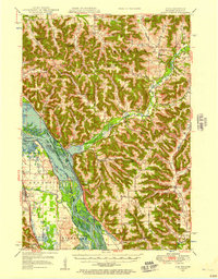
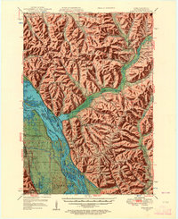
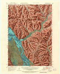
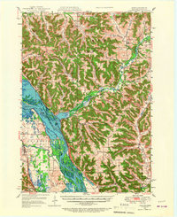
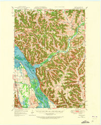
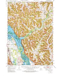
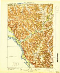
Loading map...1950 Map of Alma
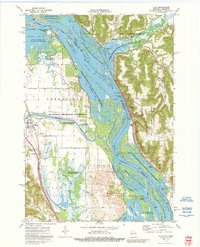
USGS Topo · Published 1980About this map
The Upper Mississippi River Wildlife and Fish Refuge dominates the valley floor of this 1950 survey, where the Mississippi River creates a complex network of backwaters like Peterson Lake and Robinson Lake. The river's industrial character is marked by Lock and Dam No 4 near Alma, a primary settlement alongside the Chicago Burlington and Quincy railroad. To the west, the Zumbro River flows through Greenfield toward the village of Kellogg, while the Wisconsin bluffs to the east are carved by the Buffalo River and its many tributaries.
Find a feature on this map
76 named features on this map. Tap any name to fly to it.
Don’t see what you’re looking for? This feature index may not catch every label — zoom into the map to look around manually.
Map Details
Date Portrayed1950
Date Published1980
PublisherU.S. Geological Survey
Map TypeTopographic
Scale1:62,500
Physical Dimensions17.63 x 22.39 inches
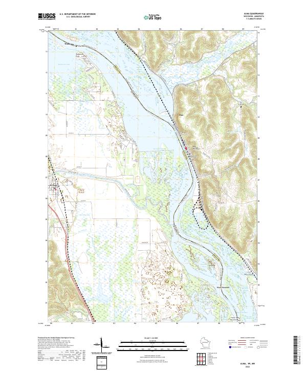
Editions of this 1950 Alma Map
8 editions found
Historical Maps of Wabasha Through Time
4 maps found
Featured Locations
Source Details
SourceU.S. Geological Survey
CopyrightPublic Domain