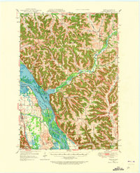
1950 Map of Alma
USGS Topo · Published 1973About this map
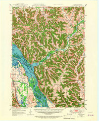
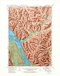
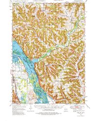
Mississippi River navigation and transport dominate this mid-century look at the border between Wisconsin and Minnesota. The river's complex network of sloughs and lakes, including Peterson Lake, Robinson Lake, and the Pomme de Terre Slough, is anchored by the presence of Lock and Dam No 4 near Alma. The terrain shifts abruptly from the wide river valley to a high, dissected landscape of ridges like Alma Ridge and Huber Ridge, separated by deep coulees and valleys such as Norwegian Valley and Dry Coulee.
Find a feature on this map
69 named features on this map. Tap any name to fly to it.
Don’t see what you’re looking for? This feature index may not catch every label — zoom into the map to look around manually.
Map Details
Editions of this 1950 Alma Map
8 editions found

Other maps of this area

1929 · Fountain City
USGS Topo · 1:62,500

1929 · Durand
USGS Topo · 1:62,500

1932 · Cochrane
USGS Topo · 1:62,500

1932 · Gilmanton
USGS Topo · 1:62,500

1932 · Wabasha
USGS Topo · 1:62,500

1932 · Durand
USGS Topo · 1:62,500

1932 · Alma
USGS Topo · 1:62,500

1932 · Mondovi
USGS Topo · 1:62,500

1934 · Winona
USGS Topo · 1:62,500

1934 · Plainview
USGS Topo · 1:62,500