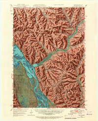
1950 Map of Alma
USGS Topo · Published 1967About this map
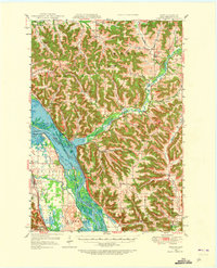
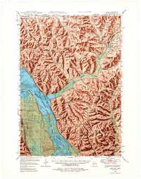
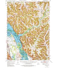
The Mississippi River creates a complex boundary between Wisconsin and Minnesota, dominated by the major engineering of Lock and Dam No 4. This 1950 edition captures the river valley and its surrounding bluffs just after the post-war era, showing a dense network of country schools like Little Bluebell Sch, Lakeview Sch, and Tell Sch that served the upland farming communities. The terrain is defined by prominent ridges including Alma Ridge and Belvidere Ridge, which separate the various creek valleys draining toward the Mississippi.
Find a feature on this map
68 named features on this map. Tap any name to fly to it.
Don’t see what you’re looking for? This feature index may not catch every label — zoom into the map to look around manually.
Map Details
Editions of this 1950 Alma Map
8 editions found

Other maps of this area

1929 · Fountain City
USGS Topo · 1:62,500

1929 · Durand
USGS Topo · 1:62,500

1932 · Cochrane
USGS Topo · 1:62,500

1932 · Gilmanton
USGS Topo · 1:62,500

1932 · Wabasha
USGS Topo · 1:62,500

1932 · Durand
USGS Topo · 1:62,500

1932 · Alma
USGS Topo · 1:62,500

1932 · Mondovi
USGS Topo · 1:62,500

1934 · Winona
USGS Topo · 1:62,500

1934 · Plainview
USGS Topo · 1:62,500