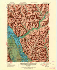
1950 Map of Alma
USGS Topo · Published 1957About this map
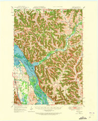
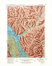
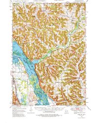
The Mississippi River and its intricate network of side channels like Buffalo Slough and Peterson Lake dominate this mid-century survey of the Wisconsin-Minnesota border. The river's industrial character is defined by Lock and Dam No 4 and the twin rail lines of the Chicago Burlington and Quincy RR and Chicago Great Western RR tracing the shorelines. On the Wisconsin side, the river town of Alma sits beneath a complex of ridges and valleys where numerous rural schoolhouses, such as Finnian Creek Sch and Alma Ridge Sch, served the upland farming communities. The interior of Buffalo County is deeply dissected by the Buffalo River and its tributaries, creating a landscape of isolated bluffs like Pine Creek Bluff. Settlement patterns follow the valley floors, with small hubs at Modena, Tell, and Cream anchoring the agricultural district during this period of high rural density.
Find a feature on this map
80 named features on this map. Tap any name to fly to it.
Don’t see what you’re looking for? This feature index may not catch every label — zoom into the map to look around manually.
Map Details
Editions of this 1950 Alma Map
8 editions found

Other maps of this area

1929 · Fountain City
USGS Topo · 1:62,500

1929 · Durand
USGS Topo · 1:62,500

1932 · Cochrane
USGS Topo · 1:62,500

1932 · Gilmanton
USGS Topo · 1:62,500

1932 · Wabasha
USGS Topo · 1:62,500

1932 · Durand
USGS Topo · 1:62,500

1932 · Alma
USGS Topo · 1:62,500

1932 · Mondovi
USGS Topo · 1:62,500

1934 · Winona
USGS Topo · 1:62,500

1934 · Plainview
USGS Topo · 1:62,500