Loading...
Loading map...2023 Map of Ellenboro
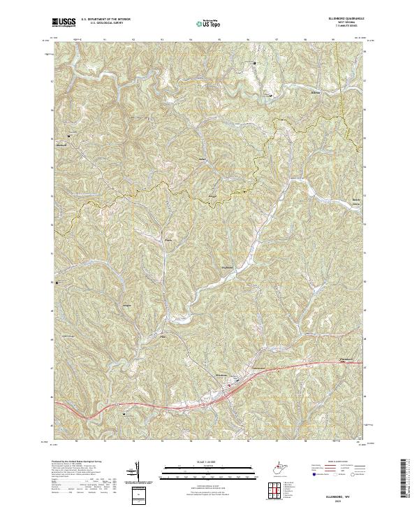
USGS Topo · Published 2023About this map
Bonds Creek and its many tributaries, such as Hushers Run and Whiskey Run, carve through the complex terrain of the Ritchie County hills. The modern landscape is anchored by the corridor of the North Bend Rail-Trail, which follows the historic path through Ellenboro, Lamberton, and Pennsboro. This transportation artery, once a vital rail link, now connects these valley settlements beneath the looming heights of Pigskin Ridge and Seckman Ridge.
Find a feature on this map
97 named features on this map. Tap any name to fly to it.
Don’t see what you’re looking for? This feature index may not catch every label — zoom into the map to look around manually.
Map Details
Date Portrayed2023
Date Published2023
PublisherU.S. Geological Survey
Map TypeTopographic
Scale1:24000
Physical Dimensions24 x 29 inches
Editions of this 2023 Ellenboro Map
This is the sole edition of this map. No revisions or reprints were ever made.
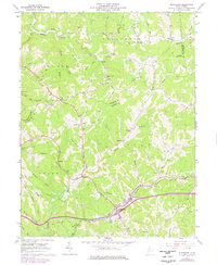
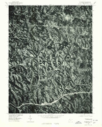
Historical Maps of Pine Grove Through Time
3 maps found
Featured Locations
Source Details
SourceU.S. Geological Survey
CopyrightPublic Domain