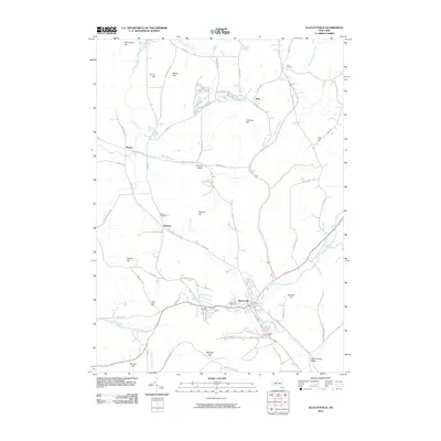
2010 Map of Ellicottville
USGS Topo · Published 2010About this map
Ellicottville serves as the central hub of this topographical study, situated at the confluence of Great Valley Creek and Elk Creek. The landscape is defined by a high density of named peaks, including McCarty Hill and Poverty Hill, which shape the narrow valleys where small settlements and agricultural tracts are concentrated. Local genealogists will find significant value in the distribution of family-named landmarks and burial grounds, such as Plato Cemetery in the north and Niles Cemetery near the village center.
Find a feature on this map
69 named features on this map. Tap any name to fly to it.
Don’t see what you’re looking for? This feature index may not catch every label — zoom into the map to look around manually.
Map Details
Editions of this 2010 Ellicottville Map
This is the sole edition of this map. No revisions or reprints were ever made.
Other maps of this area

1900 · Salamanca
USGS Topo · 1:62,500

1922 · Randolph
USGS Topo · 1:62,500

1923 · Randolph
USGS Topo · 1:62,500

1923 · Cattaraugus
USGS Topo · 1:62,500

1924 · Ellicottville
USGS Topo · 1:62,500

1938 · Cattaraugus
USGS Topo · 1:62,500

1938 · Salamanca
USGS Topo · 1:62,500

1941 · Cattaraugus
USGS Topo · 1:62,500

1941 · Ellicottville
USGS Topo · 1:62,500

1943 · Randolph
USGS Topo · 1:62,500