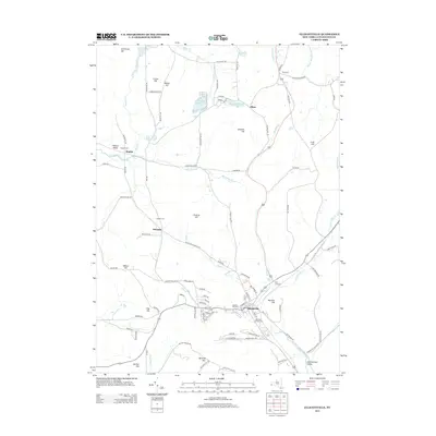
2013 Map of Ellicottville
USGS Topo · Published 2013About this map
Great Valley Creek cuts a prominent path through this 2013 landscape, defining the valley where the village of Ellicottville is established. The surrounding terrain is characterized by a high concentration of named peaks and ridges, including McCarty Hill, Jackman Hill, and Poverty Hill, which shape the local drainage into numerous smaller streams like Mansfield Creek and Elk Creek. A significant network of cemeteries, such as Sunset Hill Cemetery, Niles Cemetery, and the Jefferson Street Cemetery, provides a dense map of historical family and community burial sites across the township.
Find a feature on this map
105 named features on this map. Tap any name to fly to it.
Don’t see what you’re looking for? This feature index may not catch every label — zoom into the map to look around manually.
Map Details
Editions of this 2013 Ellicottville Map
This is the sole edition of this map. No revisions or reprints were ever made.
Other maps of this area

1900 · Salamanca
USGS Topo · 1:62,500

1922 · Randolph
USGS Topo · 1:62,500

1923 · Randolph
USGS Topo · 1:62,500

1923 · Cattaraugus
USGS Topo · 1:62,500

1924 · Ellicottville
USGS Topo · 1:62,500

1938 · Cattaraugus
USGS Topo · 1:62,500

1938 · Salamanca
USGS Topo · 1:62,500

1941 · Cattaraugus
USGS Topo · 1:62,500

1941 · Ellicottville
USGS Topo · 1:62,500

1943 · Randolph
USGS Topo · 1:62,500