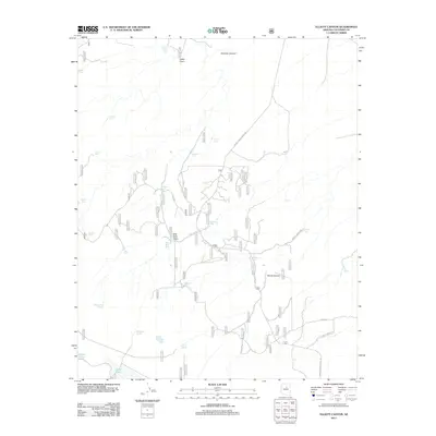
2011 Map of Elliott Canyon
USGS Topo · Published 2011About this map
Elliott Canyon and Mormon Canyon carve through this high-country landscape in Coconino County, where the management of water is the primary human footprint. The map documents an intricate network of tanks and draws used for livestock and forest management, including family-named landmarks like Billy Back Draw and the Billy Back Spring. Water sources are scattered across the terrain, ranging from the prominent Long Lake in the southwest corner to isolated improvements such as Yellow Jacket Spring and Padre Tank. These features are connected by a web of Forest Service infrastructure, including Forest Service Road 126 and FS RD 233, which navigate the drainage systems of Cabin Draw and Elliott Spring. The distribution of these tanks, such as Eli Tanks and Indian Lake Tank, provides a clear view of how this arid environment was adapted for ranching and forestry at the start of the 21st century.
Find a feature on this map
32 named features on this map. Tap any name to fly to it.
Don’t see what you’re looking for? This feature index may not catch every label — zoom into the map to look around manually.
Map Details
Editions of this 2011 Elliott Canyon Map
This is the sole edition of this map. No revisions or reprints were ever made.
Other maps of this area
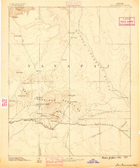
1886 · San Francisco Mtns
USGS Topo · 1:250,000
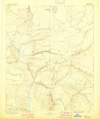
1887 · Verde
USGS Topo · 1:250,000
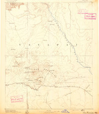
1891 · San Francisco Mtns
USGS Topo · 1:250,000
1892 · Verde
USGS Topo · 1:250,000
1894 · San Francisco Mtns
USGS Topo · 1:250,000
1899 · San Francisco Mtns
USGS Topo · 1:250,000

1947 · Flagstaff
USGS Topo · 1:250,000
1954 · Flagstaff
USGS Topo · 1:250,000
1954 · Holbrook
USGS Topo · 1:250,000
1957 · Holbrook
USGS Topo · 1:250,000