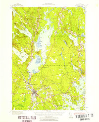
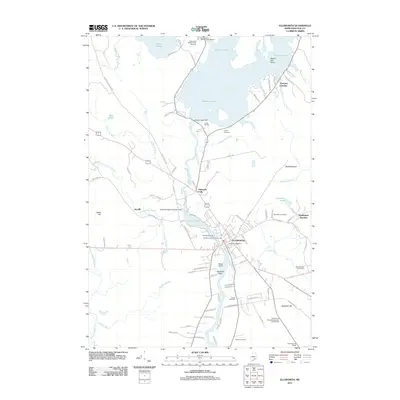
1940 Map of Ellsworth
USGS Topo · Published 1957About this map
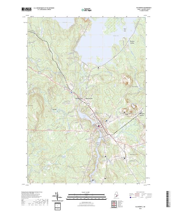
Ellsworth serves as the focal point of this coastal Maine survey, where the Union River meets the upper reaches of the Skillings River and Taunton Bay. The landscape is characterized by a complex network of glacial ponds and ridges, including Beech Hill Pond and Green Lake, which sustained local industry and recreation. At Washington Junction, the Maine Central railroad branches toward the coast, a critical transport link for the wood and ice trade of the era.
Find a feature on this map
108 named features on this map. Tap any name to fly to it.
Don’t see what you’re looking for? This feature index may not catch every label — zoom into the map to look around manually.
Map Details
Editions of this 1940 Ellsworth Map
This is the sole edition of this map. No revisions or reprints were ever made.
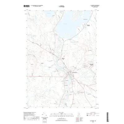
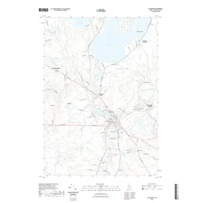
Historical Maps of Ellsworth Through Time
10 maps found
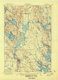
1911 Ellsworth
Hancock County, ME
1940 Ellsworth
Hancock County, ME
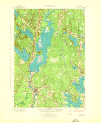
1942 Ellsworth
Hancock County, ME
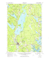
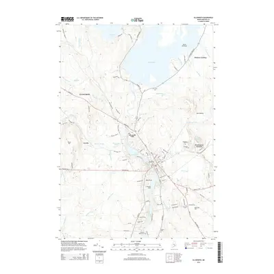
1957 Ellsworth
Hancock County, ME

1981 Ellsworth
Hancock County, ME
2011 Ellsworth
Hancock County, ME
2014 Ellsworth
Hancock County, ME
2018 Ellsworth
Hancock County, ME
2021 Ellsworth
Hancock County, ME
2024 Ellsworth
Hancock County, ME