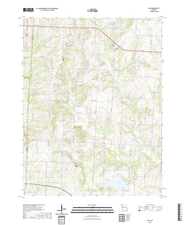
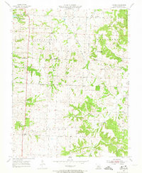
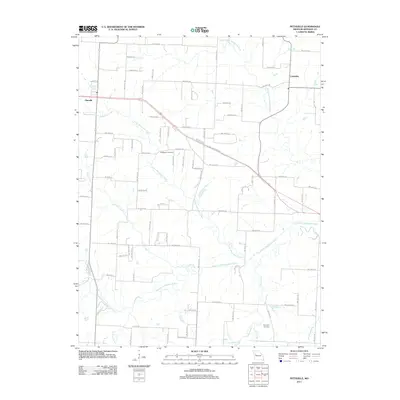
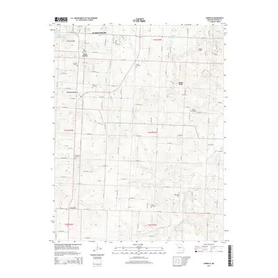
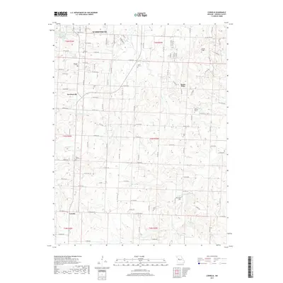
2021 Map of Elm
USGS Topo · Published 2021About this map
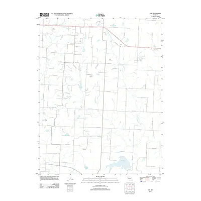
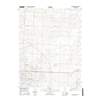
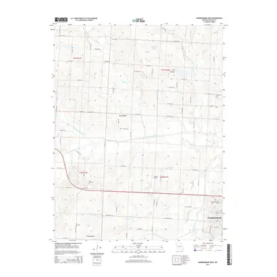
The S Fork Blackwater River winds through this rural section of Johnson County, defining a landscape of small reservoirs and historic family burial grounds. The small settlement of Elm serves as a local focal point near the northern border, situated among a network of section-line roads that reflect the area's agricultural heritage. For genealogists, the map is particularly detailed, recording multiple small cemeteries including Basin Knob Cem, Lundy Cem, and Bluff Springs Cem, which are often the only remaining markers of early farming communities.
Find a feature on this map
52 named features on this map. Tap any name to fly to it.
Don’t see what you’re looking for? This feature index may not catch every label — zoom into the map to look around manually.
Map Details
Editions of this 2021 Elm Map
This is the sole edition of this map. No revisions or reprints were ever made.
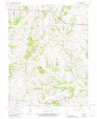
Historical Maps of Fulkerson Through Time
36 maps found
1917 Knobnoster
Johnson County, MO
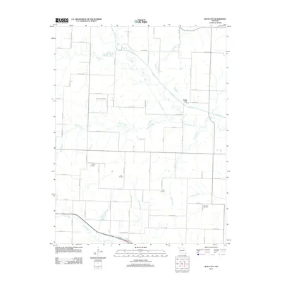
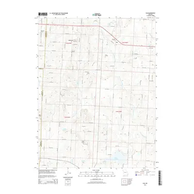
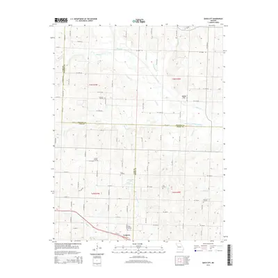
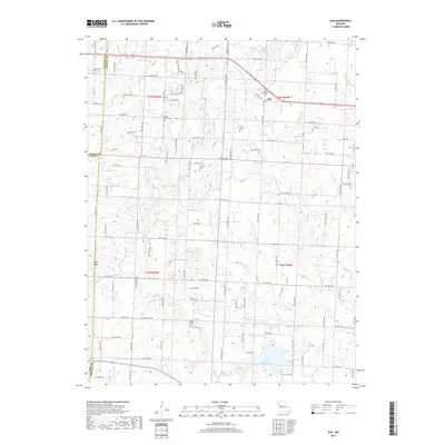
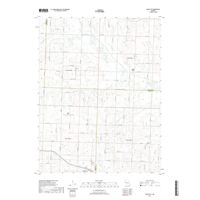
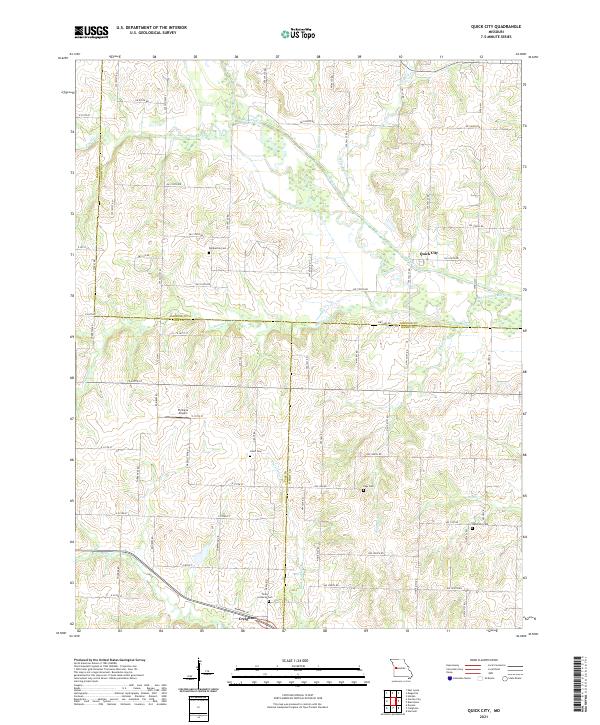
1954 Quick City
Johnson County, MO
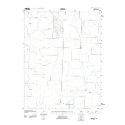
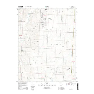
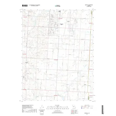
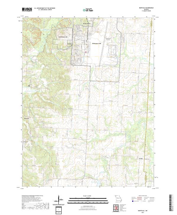
1955 Burtville
Johnson County, MO
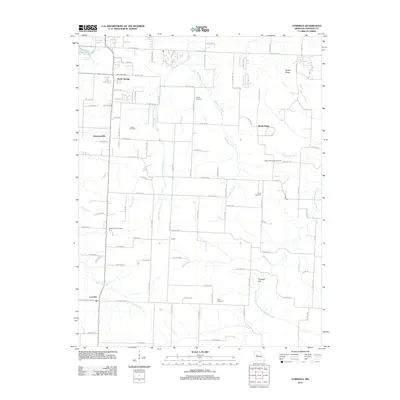
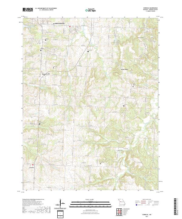
1955 Cornelia
Johnson County, MO
1962 Elm
Johnson County, MO
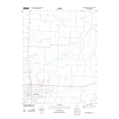
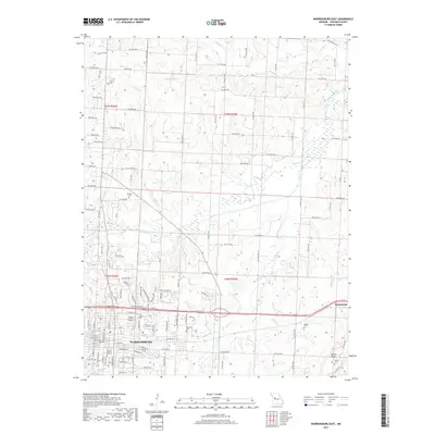
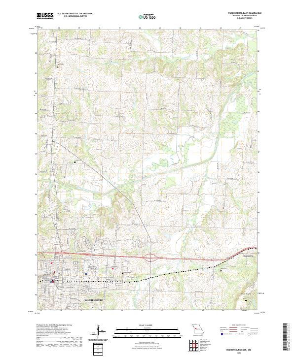
1962 Warrensburg East
Johnson County, MO
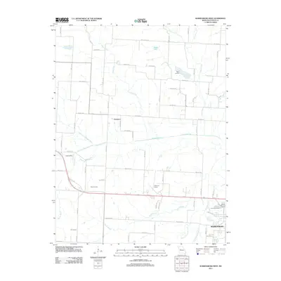
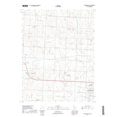
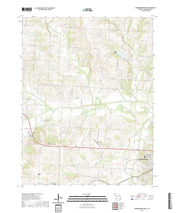
1962 Warrensburg West
Johnson County, MO
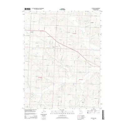
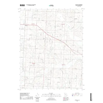
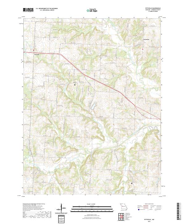
1963 Pittsville
Johnson County, MO
2011 Burtville
Johnson County, MO
2011 Cornelia
Johnson County, MO
2011 Elm
Johnson County, MO
2011 Pittsville
Johnson County, MO
2011 Quick City
Johnson County, MO
2011 Warrensburg East
Johnson County, MO
2011 Warrensburg West
Johnson County, MO
2014 Cornelia
Johnson County, MO
2014 Elm
Johnson County, MO
2014 Pittsville
Johnson County, MO
2014 Quick City
Johnson County, MO
2014 Warrensburg East
Johnson County, MO
2014 Warrensburg West
Johnson County, MO
2015 Burtville
Johnson County, MO
2017 Burtville
Johnson County, MO
2017 Cornelia
Johnson County, MO
2017 Elm
Johnson County, MO
2017 Pittsville
Johnson County, MO
2017 Quick City
Johnson County, MO
2017 Warrensburg East
Johnson County, MO
2017 Warrensburg West
Johnson County, MO
2021 Burtville
Johnson County, MO
2021 Cornelia
Johnson County, MO
2021 Elm
Johnson County, MO
2021 Pittsville
Johnson County, MO
2021 Quick City
Johnson County, MO
2021 Warrensburg East
Johnson County, MO
2021 Warrensburg West
Johnson County, MO