2023 Map of Elma
USGS Topo · Published 2023About this map
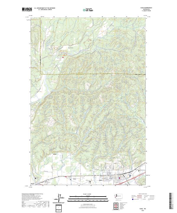
Elma serves as the focal point of this region in Grays Harbor County, where the southern plains transition into the forested drainage basins of the East Fork Satsop River. The landscape is defined by broad natural openings such as Hunters Prairie and Horse Prairie, which have historically shaped the agricultural and settlement patterns of the area. Movement through the territory follows the paths of numerous waterways, including the winding Cloquallum Creek and the multiple branches of Newman Creek. Genealogy researchers will find several notable burial sites concentrated near the town centers, including the Masonic Cem, Satsop Cem, and Oddfellow Cem. These sites, along with the Elma Catholic Cem, anchor the legacy of the early families who established Satsop, Brady, and the surrounding timber and farming communities. The map also traces a dense network of logging roads and early thoroughfares like Old 410 Hwy that connect these river-valley settlements.
Find a feature on this map
88 named features on this map. Tap any name to fly to it.
Don’t see what you’re looking for? This feature index may not catch every label — zoom into the map to look around manually.
Map Details
Editions of this 2023 Elma Map
This is the sole edition of this map. No revisions or reprints were ever made.
Historical Maps of Mason County Through Time
3 maps found