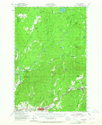
1953 Map of Elma
USGS Topo · Published 1964About this map
Elma and McCleary anchor this mid-century portrait of a landscape defined by timber and agriculture at the edge of the Capitol State Forest. The complex waterway system of the Satsop River and its multiple branches, including the Middle Fork and East Fork, dominates the western terrain, while the eastern portion is marked by the distinct open spaces of Goose Prairie and Buck Prairie.
Find a feature on this map
62 named features on this map. Tap any name to fly to it.
Don’t see what you’re looking for? This feature index may not catch every label — zoom into the map to look around manually.
Map Details
Editions of this 1953 Elma Map
2 editions found

Other maps of this area

1921 · Satsop
USGS Topo · 1:62,500

1939 · Shelton
USGS Topo · 1:62,500

1940 · Montesano
USGS Topo · 1:62,500

1941 · Mobray
USGS Topo · 1:62,500

1941 · Gate
USGS Topo · 1:62,500

1941 · Ford
USGS Topo · 1:62,500

1943 · Potlatch
USGS Topo · 1:62,500

1943 · Nahwatzel Lake
USGS Topo · 1:62,500

1943 · Mobray
USGS Topo · 1:62,500

1952 · Potlatch
USGS Topo · 1:62,500