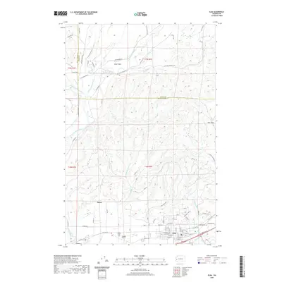
1981 Map of Elma
USGS Topo · Published 1981About this map
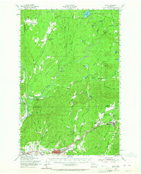
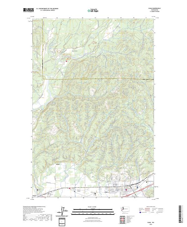
The Satsop River and its complex network of forks dominate this Grays Harbor County landscape, where the Middle Fork and East Fork converge to create a broad alluvial valley. This 1981 record captures the community of Elma at a stable moment, showing its established street grid from Main St to the Burlington Northern railroad corridor. The area's recreational and agricultural character is evident in the sprawling Schaefer State Park and the open expanses of Hunters Prairie. Evidence of the region’s timber and transit history is preserved through labels like the Old RR Grade, while the local economy is anchored by the County Fairgrounds and Oakridge Golf Course. Local genealogists will find value in the specific locations of the town Cem, the High Sch, and the Po, providing a precise spatial context for residents of Satsop and the surrounding prairie during the early 1980s.
Find a feature on this map
50 named features on this map. Tap any name to fly to it.
Don’t see what you’re looking for? This feature index may not catch every label — zoom into the map to look around manually.
Map Details
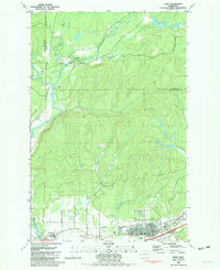
Editions of this 1981 Elma Map
This is the sole edition of this map. No revisions or reprints were ever made.
Historical Maps of Elma Through Time
7 maps found