
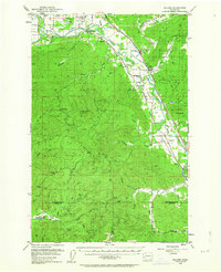
1953 Map of Malone
USGS Topo · Published 1955About this map
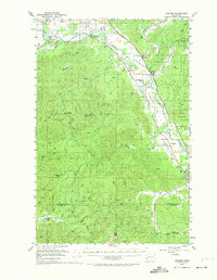
The Chehalis River valley serves as a primary transit corridor through this timber-rich region of Western Washington, where three major railroads—the Northern Pacific, Union Pacific, and Chicago Milwaukee St Paul and Pacific—converge to follow the water. Small settlements like Malone, Porter, and Saginaw dot the rail lines, reflecting an era when these stops were essential for the local logging and agricultural economy. The landscape is defined by the sharp transition from the river bottomlands to the timbered heights of the Black Hills and Capitol State Forest.
Find a feature on this map
85 named features on this map. Tap any name to fly to it.
Don’t see what you’re looking for? This feature index may not catch every label — zoom into the map to look around manually.
Map Details
Editions of this 1953 Malone Map
3 editions found
Other maps of this area

1939 · Shelton
USGS Topo · 1:62,500

1940 · Montesano
USGS Topo · 1:62,500

1941 · Walville
USGS Topo · 1:62,500

1941 · Meskill
USGS Topo · 1:62,500

1941 · Mobray
USGS Topo · 1:62,500

1941 · Gate
USGS Topo · 1:62,500

1941 · Ford
USGS Topo · 1:62,500

1943 · Nahwatzel Lake
USGS Topo · 1:62,500

1943 · Mobray
USGS Topo · 1:62,500

1953 · Hoquiam
USGS Topo · 1:250,000