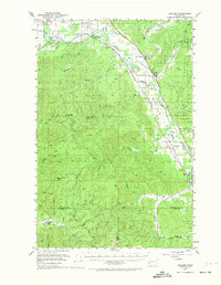
1953 Map of Malone
USGS Topo · Published 1974About this map
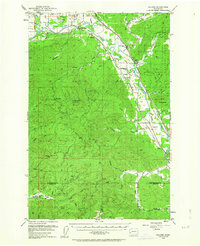
The Chehalis River and Satsop River converge in this mid-century landscape of timber and river-valley agriculture. This survey documents the intersection of three major railroads—the Northern Pacific, Union Pacific, and the Chicago Milwaukee St Paul and Pacific—which served small communities like Malone, Porter, and Saginaw. The presence of the State Furbearing Animal Refuge and large tracts of the Capitol State Forest reflect the importance of land management in Grays Harbor and Lewis Counties. Local social centers are well-defined, including the Sharon Grange and Sharon Cemetery, while educational footprints are preserved at the North River Consolidated School. To the east, the Chehalis Indian Reservation borders the river, and the Minot Peak Lookout stands as a sentinel over the surrounding timberlands and feeder streams like Workman Creek and Garrard Creek.
Find a feature on this map
58 named features on this map. Tap any name to fly to it.
Don’t see what you’re looking for? This feature index may not catch every label — zoom into the map to look around manually.
Map Details
Editions of this 1953 Malone Map
3 editions found

Other maps of this area

1939 · Shelton
USGS Topo · 1:62,500

1940 · Montesano
USGS Topo · 1:62,500

1941 · Walville
USGS Topo · 1:62,500

1941 · Meskill
USGS Topo · 1:62,500

1941 · Mobray
USGS Topo · 1:62,500

1941 · Gate
USGS Topo · 1:62,500

1941 · Ford
USGS Topo · 1:62,500

1943 · Nahwatzel Lake
USGS Topo · 1:62,500

1943 · Mobray
USGS Topo · 1:62,500

1953 · Hoquiam
USGS Topo · 1:250,000