
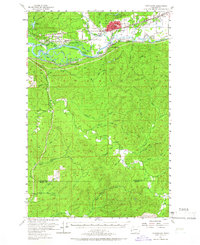
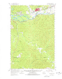
1955 Map of Montesano
USGS Topo · Published 1957About this map
Montesano serves as the focal point of this 1950s survey, situated where the Wynoochee River meets the Chehalis River. The landscape is defined by the complex hydrology of the Chehalis floodplains, marked by numerous waterways like Preachers Slough, Blue Slough, and Metcalf Slough that wind around Higgins Island and Bents Island. A trio of major rail lines, including the Northern Pacific, Union Pacific, and the Chicago Milwaukee St Paul and Pacific, converge here to serve the region's timber and transit needs.
Find a feature on this map
67 named features on this map. Tap any name to fly to it.
Don’t see what you’re looking for? This feature index may not catch every label — zoom into the map to look around manually.
Map Details
Editions of this 1955 Montesano Map
3 editions found
Other maps of this area

1938 · South Bend
USGS Topo · 1:62,500

1940 · Montesano
USGS Topo · 1:62,500

1940 · South Bend
USGS Topo · 1:62,500

1941 · Walville
USGS Topo · 1:62,500

1941 · Mobray
USGS Topo · 1:62,500

1941 · Ford
USGS Topo · 1:62,500

1943 · Humptulips
USGS Topo · 1:62,500

1943 · Nahwatzel Lake
USGS Topo · 1:62,500

1943 · Mobray
USGS Topo · 1:62,500

1953 · Hoquiam
USGS Topo · 1:250,000