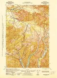
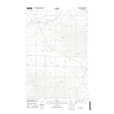
1943 Map of Humptulips
USGS Topo · Published 1943About this map
The Humptulips River and its multiple forks dominate this 1943 survey of Grays Harbor County, revealing a landscape defined by timber extraction and valley homesteads. The Polson Logging Company rail lines and various logging camps indicate the industrial focus of the era, while scattered family holdings like Brittain Ranch, Eaton Ranch, and Miller Ranch represent the agricultural footprint in the river bottoms.
Find a feature on this map
67 named features on this map. Tap any name to fly to it.
Don’t see what you’re looking for? This feature index may not catch every label — zoom into the map to look around manually.
Map Details
Editions of this 1943 Humptulips Map
This is the sole edition of this map. No revisions or reprints were ever made.
Historical Maps of Aberdeen Through Time
8 maps found
1943 Humptulips
Grays Harbor County, WA
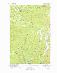
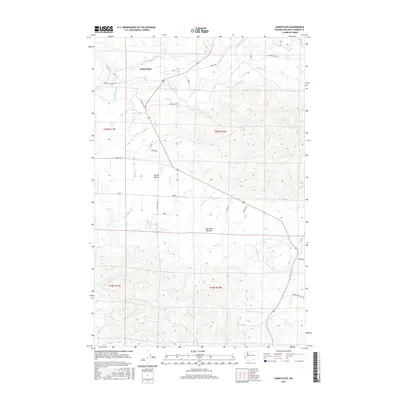
1955 Humptulips
Grays Harbor County, WA
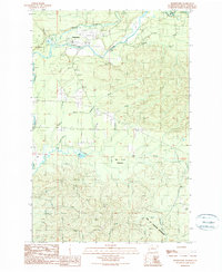
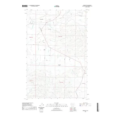
1990 Humptulips
Grays Harbor County, WA
2011 Humptulips
Grays Harbor County, WA
2014 Humptulips
Grays Harbor County, WA
2017 Humptulips
Grays Harbor County, WA
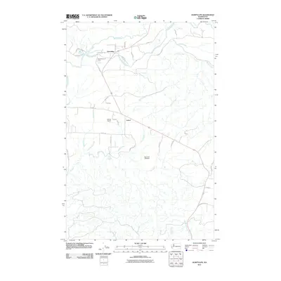
2020 Humptulips
Grays Harbor County, WA
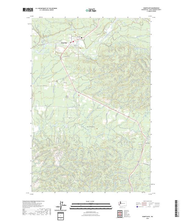
2023 Humptulips
Grays Harbor County, WA