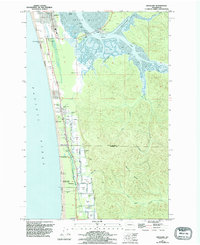
Loading...
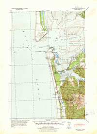
Loading map...1941 Map of Grayland
USGS Topo · Published 1941About this map
The entrance to Grays Harbor is defined by a landscape of shifting sands and maritime infrastructure just before the United States entered World War II. At Pt Chehalis, the Grays Harbor L H stands near critical Coast Guard facilities, including the C G Dock and C G Lookout. The tactical nature of this survey is evident in the inclusion of an Observation Tower near Grayland and the North Jetty and South Jetty that stabilize the channel between Point Brown and the mainland.
Find a feature on this map
56 named features on this map. Tap any name to fly to it.
Don’t see what you’re looking for? This feature index may not catch every label — zoom into the map to look around manually.
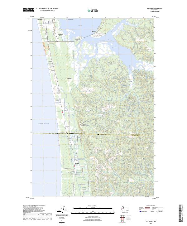
Map Details
Date Portrayed1941
Date Published1941
PublisherU.S. Geological Survey
Map TypeTopographic
Scale1:62,500
Physical Dimensions15.8 x 21.8 inches
Editions of this 1941 Grayland Map
This is the sole edition of this map. No revisions or reprints were ever made.
Historical Maps of Ocean Shores Through Time
3 maps found
Featured Locations
Source Details
SourceU.S. Geological Survey
CopyrightPublic Domain