
Loading...
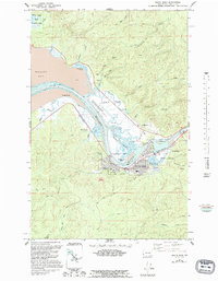
Loading map...1938 Map of South Bend
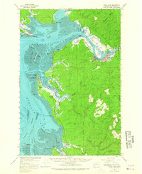
USGS Topo · Published 1963About this map
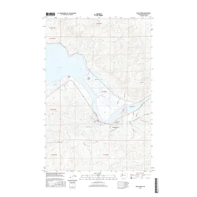
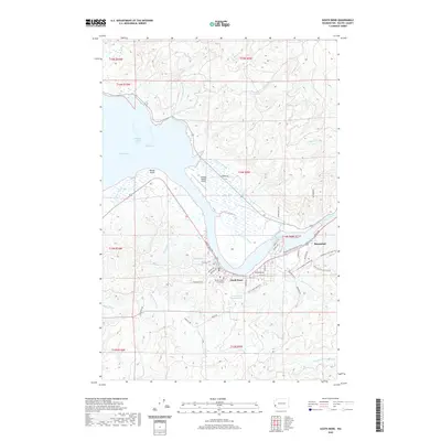
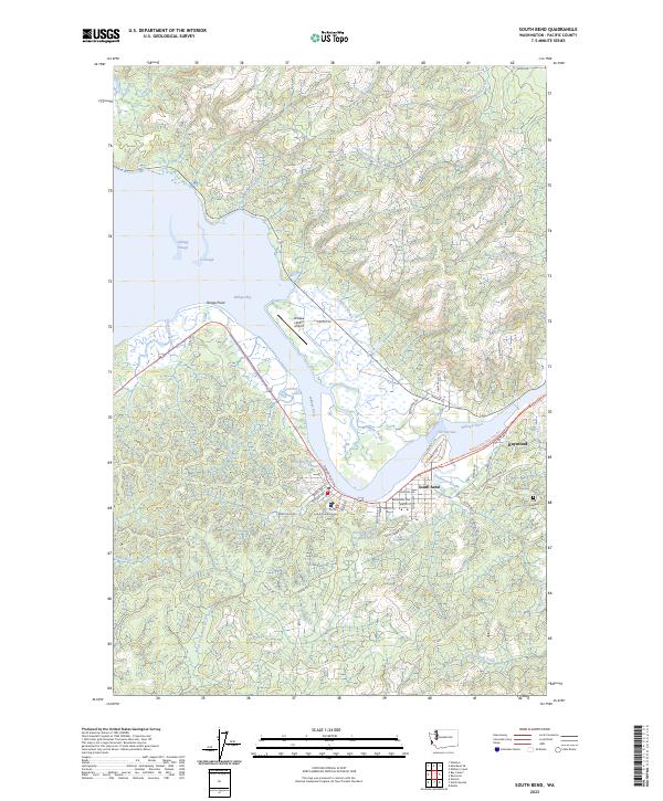
The Willapa River delta and its complex network of sloughs anchor this 1930s coastal survey of Pacific County. The city of South Bend serves as the regional hub, where the Northern Pacific railroad terminates along the riverfront, supporting the timber and maritime industries of the era. The landscape is defined by the expansive Willapa Bay, featuring distinct navigation markers like the Nahcotta Channel and Stanley Channel that facilitated coastal trade.
Find a feature on this map
66 named features on this map. Tap any name to fly to it.
Don’t see what you’re looking for? This feature index may not catch every label — zoom into the map to look around manually.
Map Details
Date Portrayed1938
Date Published1963
PublisherU.S. Geological Survey
Map TypeTopographic
Scale1:62,500
Physical Dimensions17 x 21.9 inches
Editions of this 1938 South Bend Map
This is the sole edition of this map. No revisions or reprints were ever made.
Historical Maps of Raymond Through Time
9 maps found

Featured Locations
Source Details
SourceU.S. Geological Survey
CopyrightPublic Domain