
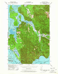
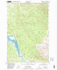
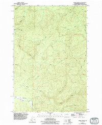
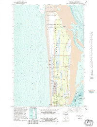
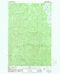
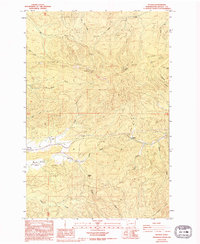
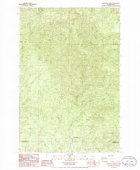
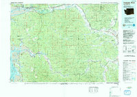
1949 Map of Upper Naselle River
USGS Topo · Published 1954About this map
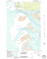
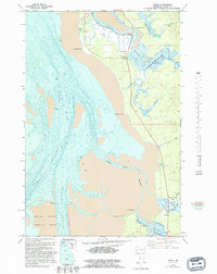
The Naselle River and its many tributaries, including the North Fork Naselle River and Salmon Creek, define this timber-focused landscape along the border of Pacific and Wahkiakum counties. This 1949 field-checked survey reveals an active industrial footprint where a Logging Railroad and an Old Grade navigate the steep terrain near Deep River Hill. Evidence of the region's management and labor is found at the Upper Naselle Ranger Sta and a dedicated Logging Camp, both situated near the riverbanks. The road network, including the Naselle Loop Rd, follows the valley floors, providing a record of the mid-century transportation routes used for resource extraction before modern developments altered these logging corridors.
Find a feature on this map
16 named features on this map. Tap any name to fly to it.
Don’t see what you’re looking for? This feature index may not catch every label — zoom into the map to look around manually.
Map Details
Editions of this 1949 Upper Naselle River Map
This is the sole edition of this map. No revisions or reprints were ever made.
Historical Maps of Pacific County Through Time
38 maps found

1938 Cape Disappointment
Pacific County, WA

1938 Cape Shoalwater
Pacific County, WA
1938 Fort Columbia
Pacific County, WA

1940 Brookfield
Pacific County, WA

1941 Walville
Pacific County, WA

1943 Fort Columbia
Pacific County, WA
1949 Cape Disappointment
Pacific County, WA
1949 Knappton
Pacific County, WA
1949 Long Island
Pacific County, WA
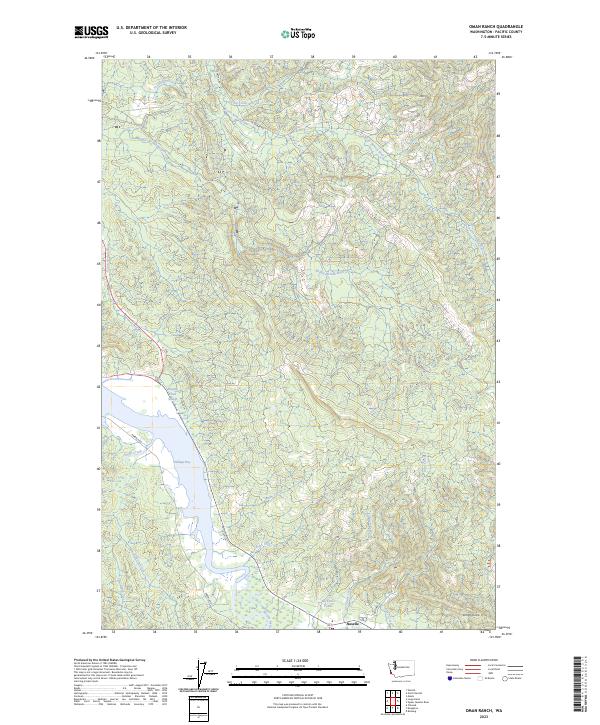
1949 Oman Ranch
Pacific County, WA
1949 Upper Naselle River
Pacific County, WA
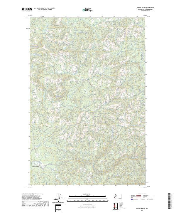
1955 North Nemah
Pacific County, WA
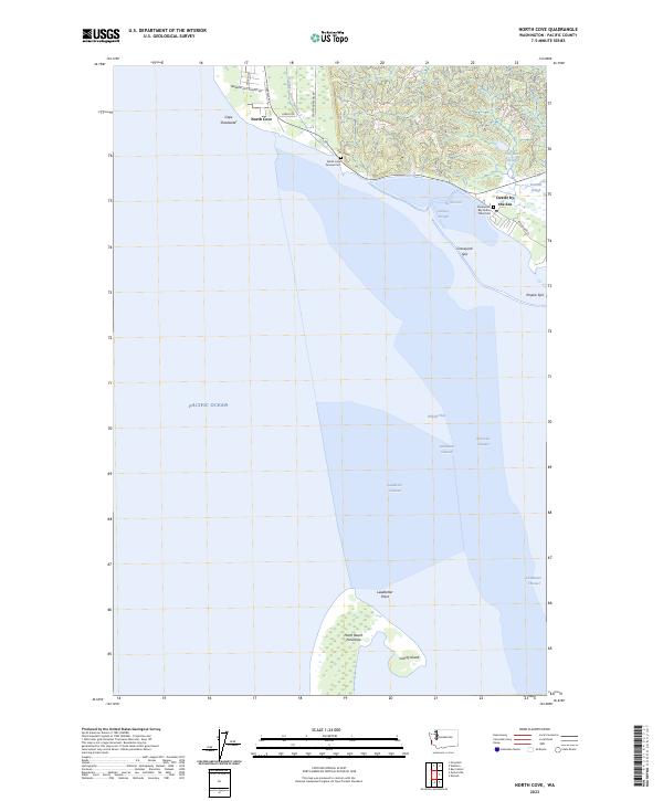
1956 North Cove
Pacific County, WA
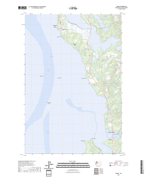
1957 Nemah
Pacific County, WA
1957 Oysterville
Pacific County, WA
1986 Blaney Creek
Pacific County, WA
1986 Dean Creek
Pacific County, WA
1986 East of Raymond
Pacific County, WA
1986 Menlo
Pacific County, WA
1986 Pluvius
Pacific County, WA
1986 Sweigiler Creek
Pacific County, WA
1992 Chehalis River
Pacific County, WA
1994 East of Raymond
Pacific County, WA
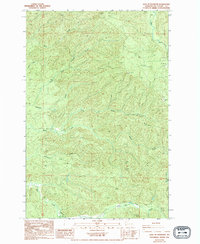
2023 Blaney Creek
Pacific County, WA
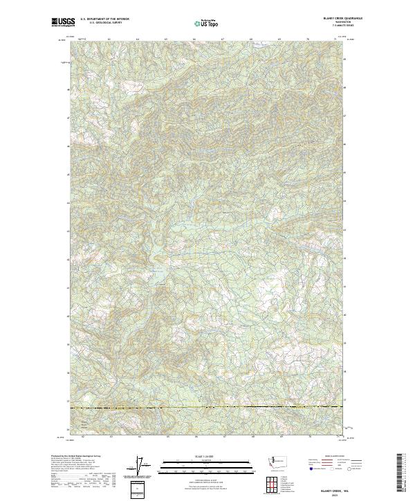
2023 Cape Disappointment
Pacific County, WA
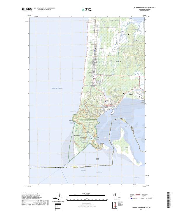
2023 Dean Creek
Pacific County, WA
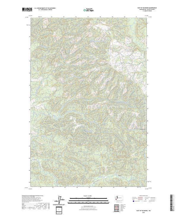
2023 East of Raymond
Pacific County, WA
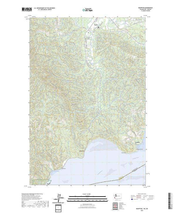
2023 Knappton
Pacific County, WA
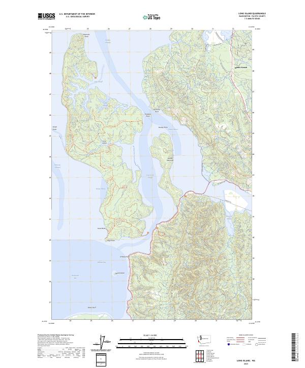
2023 Long Island
Pacific County, WA
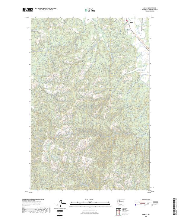
2023 Menlo
Pacific County, WA
2023 Nemah
Pacific County, WA
2023 North Cove
Pacific County, WA
2023 North Nemah
Pacific County, WA
2023 Oman Ranch
Pacific County, WA
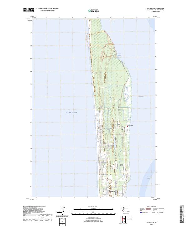
2023 Oysterville
Pacific County, WA
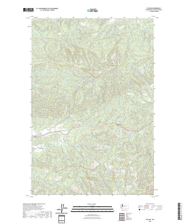
2023 Pluvius
Pacific County, WA
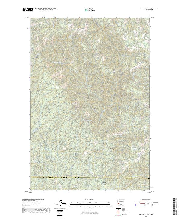
2023 Sweigiler Creek
Pacific County, WA
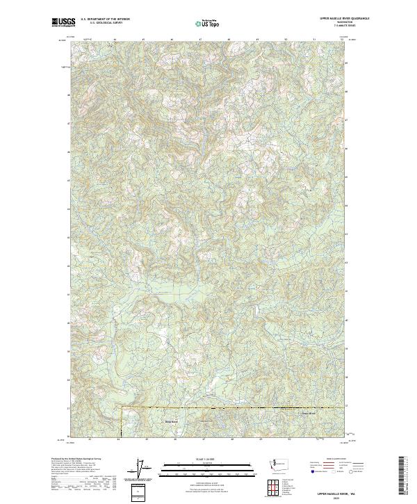
2023 Upper Naselle River
Pacific County, WA