
1949 Map of Rosburg
USGS Topo · Published 1955About this map
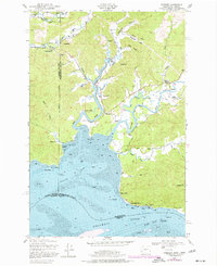
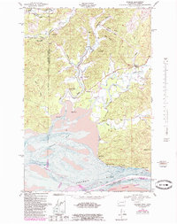
The Grays River and Deep River systems converge here at the broad expanse of Grays Bay, defining the tidewater landscape of Wahkiakum County at the end of the 1940s. The village of Rosburg serves as a focal point in the valley, supported by the Rosburg Sch and a local Cem. The map documents a maritime and river-based economy, evidenced by Svensens Landing, Carlson Landing, and the Cannery Light near Altoona.
Find a feature on this map
48 named features on this map. Tap any name to fly to it.
Don’t see what you’re looking for? This feature index may not catch every label — zoom into the map to look around manually.
Map Details
Editions of this 1949 Rosburg Map
3 editions found
Other maps of this area

1919 · Astoria
USGS Topo · 1:62,500

1938 · Fort Columbia
USGS Topo · 1:62,500

1939 · Astoria
USGS Topo · 1:62,500

1940 · Svensen
USGS Topo · 1:62,500

1940 · Brookfield
USGS Topo · 1:62,500

1943 · Fort Columbia
USGS Topo · 1:62,500

1949 · Astoria
USGS Topo · 1:24,000

1949 · Upper Naselle River
USGS Topo · 1:24,000

1949 · Oman Ranch
USGS Topo · 1:24,000

1949 · Knappton
USGS Topo · 1:24,000