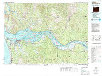
1949 Map of Astoria
USGS Topo · Published 1949About this map
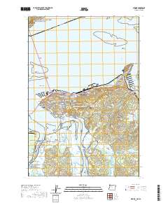
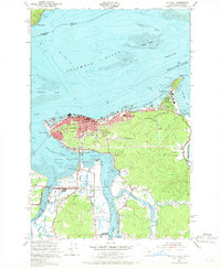
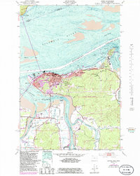
Astoria sits at the vital junction of the Columbia River and its southern tributaries during a period of significant mid-century maritime and military activity. The map reveals a densely organized urban core around Coxcomb Hill, topped by the Astor Column, while the eastern waterfront is dominated by the sprawling Tongue Point Naval Base and the associated residential community of Navy Heights. This survey captures the complex hydrology of the estuary, where deep-water features like the Tongue Point Channel contrast with the shifting Taylor Sands and Desdemona Sands. Inland, the landscape transitions to a network of winding waterways including the Youngs River and Lewis and Clark River. Local social geography is evidenced by landmarks such as the John Jacob Astor Sch, Greenwood Cem, and the U S Coast Guard Sta, illustrating the town's dual identity as a commercial hub and a strategic coastal outpost.
Find a feature on this map
54 named features on this map. Tap any name to fly to it.
Don’t see what you’re looking for? This feature index may not catch every label — zoom into the map to look around manually.
Map Details
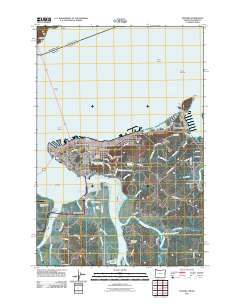
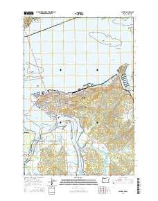
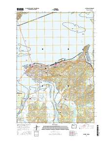
Editions of this 1949 Astoria Map
4 editions found
Historical Maps of Astoria Through Time
9 maps found