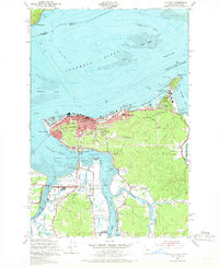
1949 Map of Astoria
USGS Topo · Published 1968About this map
Astoria serves as the focal point of this coastal landscape where the Columbia River meets the Pacific tides. Situated atop Coxcomb Hill, the Astoria Column overlooks a bustling mid-century port economy defined by extensive maritime and military infrastructure. The map reveals the critical importance of the Tongue Point Naval Base and the adjacent Tongue Point Village, which supported personnel during a period of high naval activity. Beyond the urban core, the landscape transitions into a network of sloughs and river forks, including the Lewis and Clark River and Youngs River. These waterways are flanked by smaller settlements like Miles Crossing and vital local institutions such as the County Home and Greenwood Cem. Industrial and transport markers, from the Spokane Portland and Seattle RR to the Maritime Reserve Fleet Base, illustrate the area's role as a strategic Pacific Northwest hub.
Find a feature on this map
55 named features on this map. Tap any name to fly to it.
Don’t see what you’re looking for? This feature index may not catch every label — zoom into the map to look around manually.
Map Details
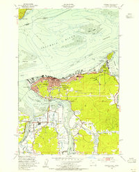
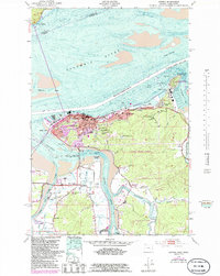
Editions of this 1949 Astoria Map
4 editions found
Other maps of this area

1919 · Astoria
USGS Topo · 1:62,500

1938 · Fort Columbia
USGS Topo · 1:62,500

1939 · Astoria
USGS Topo · 1:62,500

1940 · Svensen
USGS Topo · 1:62,500

1940 · Brookfield
USGS Topo · 1:62,500

1943 · Fort Columbia
USGS Topo · 1:62,500

1949 · Astoria
USGS Topo · 1:24,000

1949 · Chinook
USGS Topo · 1:24,000

1949 · Knappton
USGS Topo · 1:24,000

1949 · Cathlamet Bay
USGS Topo · 1:24,000